Description
Discover Hidden Trails and Unforgettable Adventures in the Black Hills
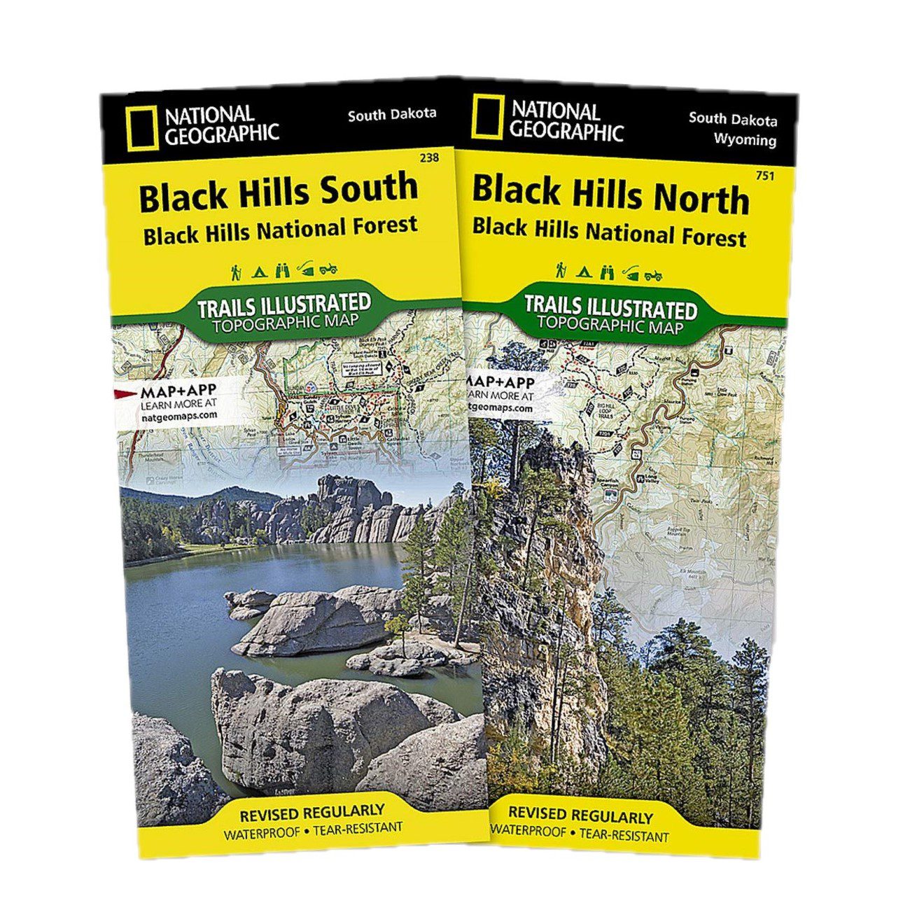
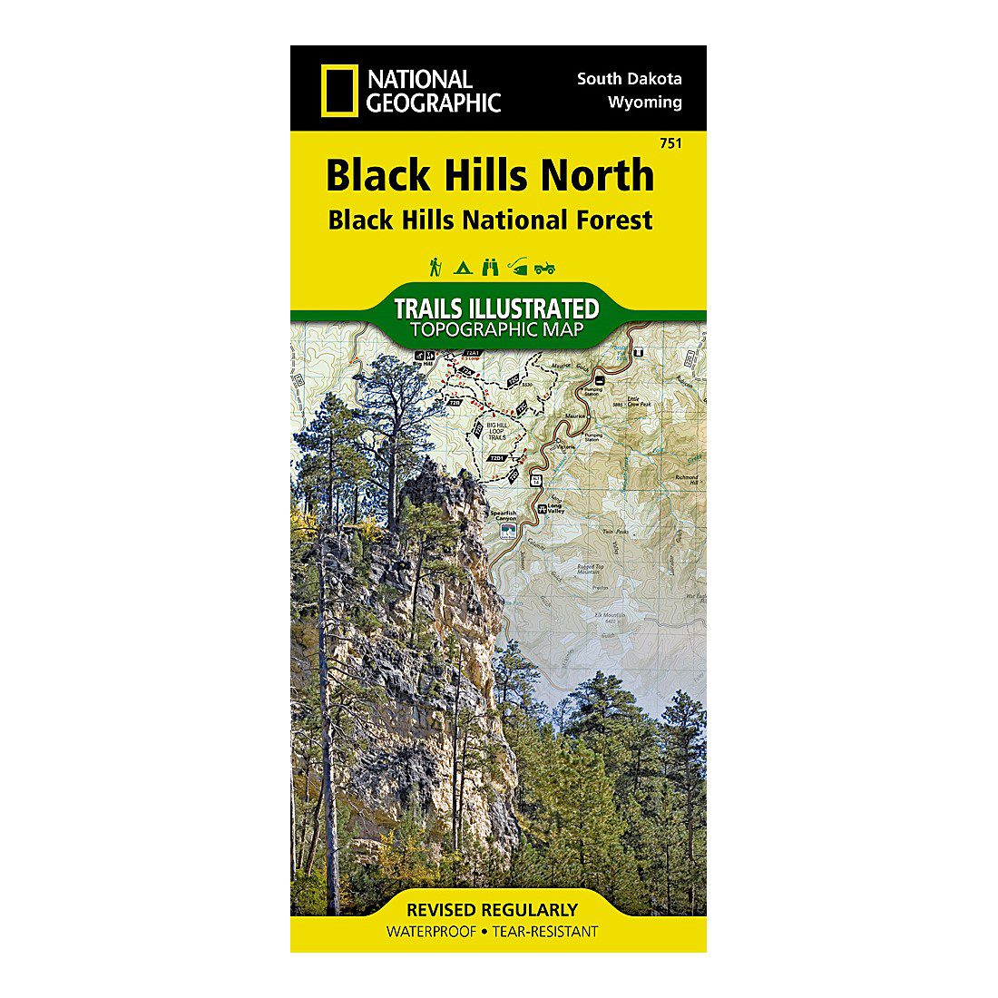
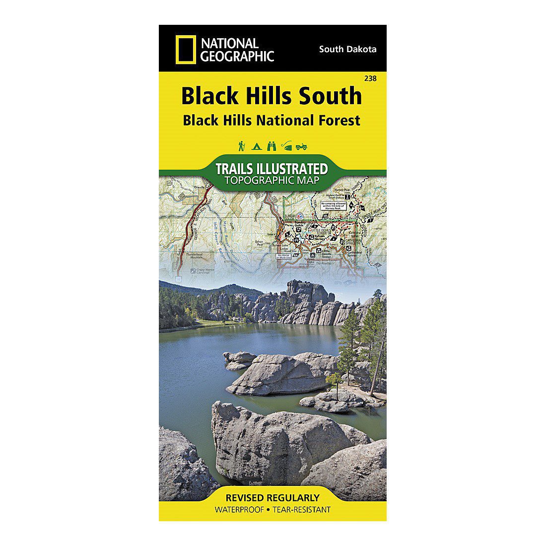
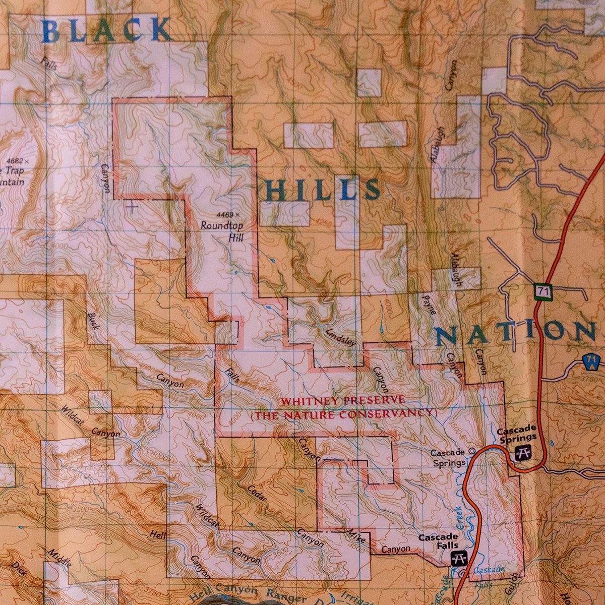
Unlock the natural wonders of the Black Hills National Forest with the Black Hills Topographic Maps from National Geographic—your trusted guide for rugged exploration. These expertly crafted, waterproof, and tear-resistant maps are made to endure the elements, whether you’re trekking through rain-soaked trails, navigating rough terrain, or exploring remote, off-grid areas where cell service fails. Available as a Combo Pack or as individual maps for the North or South regions, each map is packed with detailed, up-to-date trail information, ensuring that your adventure is safe, informed, and full of discovery.
Navigate with Confidence
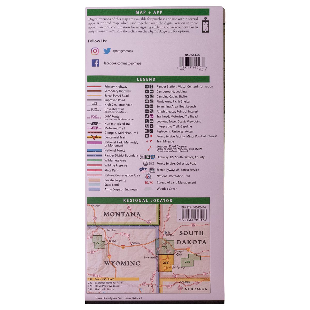
Designed in collaboration with the U.S. Forest Service, these maps offer more than just basic trail guidance. They include precise mileage markers, trailhead locations, and cover hundreds of points of interest, including scenic lookouts, campsites, and boat ramps. You’ll also find background info on popular sites like Mount Rushmore, Wind Cave National Park, and Spearfish Canyon Scenic Byway.
- Black Hills North Map highlights incredible spots like Roughlock Falls, Pactola Reservoir, and the Beaver Creek Trail System.
- Black Hills South Map guides you through gems like Custer State Park, Jewel Cave National Monument, and the George S. Mickelson Trail.
With the UTM grid for GPS navigation, even if your smartphone loses signal, you’ll have the confidence to explore safely in areas where digital maps can’t reach. These physical maps are your most reliable companion when deep in the wilderness—helping you stay on course no matter what challenges nature throws your way.
Why Physical Maps Matter for Off-Grid Adventures
In remote areas of the Black Hills, cell service is unreliable, making GPS and mobile maps useless in critical moments. That’s where National Geographic’s Black Hills Topographic Maps come to the rescue. With Backcountry Tough paper that resists both tears and water, these maps are durable enough to survive rainstorms, rugged trails, and constant folding. They offer something a digital map simply can’t—durability, reliability, and the peace of mind that comes from knowing your map won’t fail when your tech does. Whether you’re an experienced hiker, an off-road enthusiast, or a casual adventurer, these maps will guide you through every trail, ensuring you make the most of your time in the Black Hills.
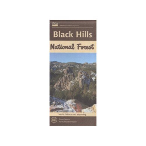
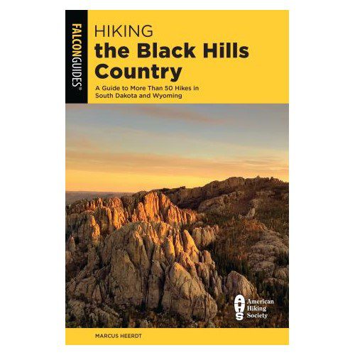
Check out our other maps and trail guide books to get even more “reception proof” confidence on the trails.
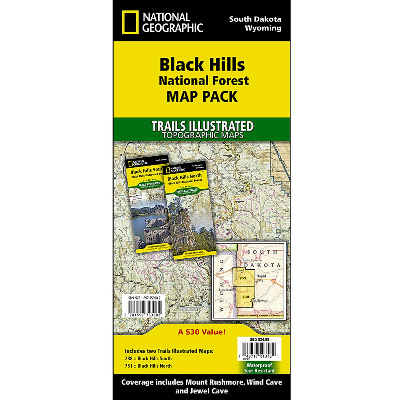
Combo Pack: Your Complete Guide to the Black Hills
Explore both the northern and southern regions of the Black Hills National Forest with the Map Pack Bundle—offering two essential maps at a 15% discount. With these in hand, you can confidently navigate all of the area’s must-see landmarks and hidden gems. These maps aren’t just tools—they’re invitations to adventure, helping you create memories on trails, at campsites, and in breathtaking landscapes.


Reviews
There are no reviews yet.