

Description
The Black Hills National Forest Recreation Map is your essential guide to exploring the scenic beauty of South Dakota and Wyoming. Updated in 2017, this durable map is printed on water-resistant and tear-resistant paper, making it perfect for outdoor adventures.
Inside, you’ll find:
- Detailed Roads and Trails: Navigate easily with clear markings of roads and trails.
- Campgrounds and Attractions: Discover campgrounds and key attractions throughout the Black Hills area.
- Boundaries and Political Borders: Includes boundaries with private lands and political borders as of 2017.
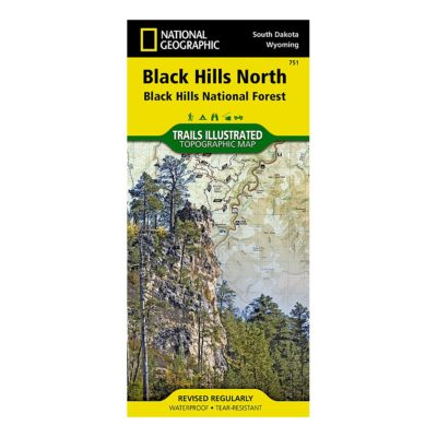
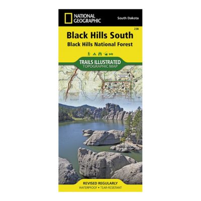
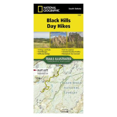
Please note, this map does not include topography or the recently implemented National Forest Motorized Vehicle Use (MVU) areas requiring permits. For detailed topography, hunters, hikers, and off-road users should refer to the Trails Illustrated/National Geographic maps.
Whether you’re planning a scenic drive, exploring towns, or finding major roadways, the Black Hills National Forest Recreation Map is a valuable tool for your journey. Our partners at the USDA Forest Service produced this map. It’s only available at BHPFA for online sales.
This is a very useful map if you are looking for major roadways, towns, and attractions. For hunters, hikers, and off road users, the Trails Illustrated maps offer topography. Please check out the Trails Illustrated/National Geographic maps.

Anonymous –
I have quite a few of these maps. If the government does anything well, its providing a GREAT map for its national forests and parks.
Bravo to the team that keeps these updated.
Tom Mitchell –
This map is so large that it makes it almost unusable. The Black Hills NF is about 7.5% larger than the Bighorn NF in terms of acres, yet this map is almost twice as large. It is going to be quite a chore for my navigator (wife) to guide us around the forest. Otherwise it will be an acceptable tool to help plan our visit.
Paul Kaiser –
Being retired FS, the map is what I expected and it allows me to see where roads go and where private land is located. Friends and I are planning on a 10 day trip to Nemo in June to camp and ride our ATV’s. Look forward to a great time.
Anonymous –
I purchased the map hoping to puzzle out where the Mickelson trail lay, and see how far it was from campgrounds along the way. The trail was nicely printed, along with the trailheads. Campgrounds were clearly marked. I like the sale.
JEFF CHRISTENSEN –
The map will be a great help to us as plan our trip South Dakota. Love the detail and the fishing spot info is an added bonus. Thank you for the prompt delivery.
Running Bear –
I’ll be running the Crazy Horse Half Marathon in Sept 2012 and after the race wanted to spend time revisiting the Black Hills. It’s been over 30 yrs since I last visited the area and although the sites haven’t changed, my memory doesn’t recall the area. The Map of the National Forest will definitely help me tour the area for the extra time available. It’s great.