Description
What is the Black Hills map tote?
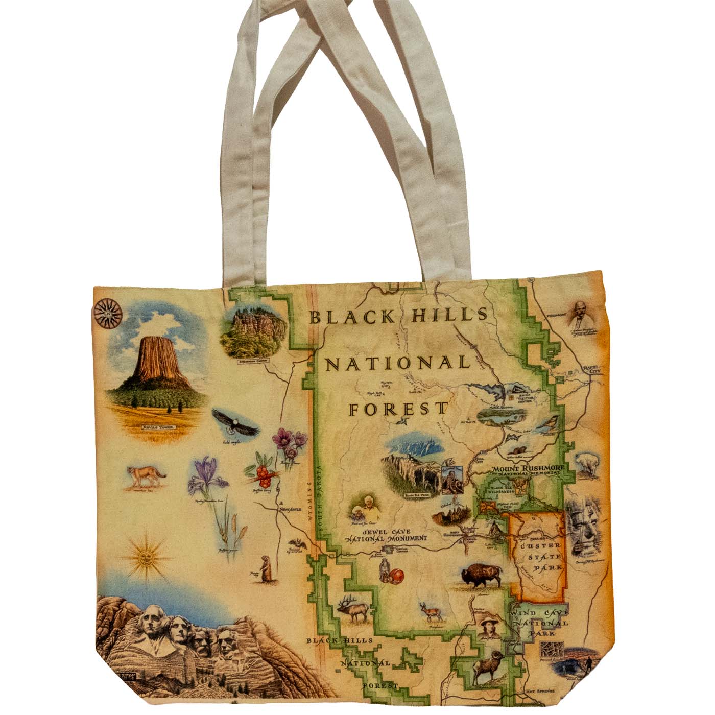
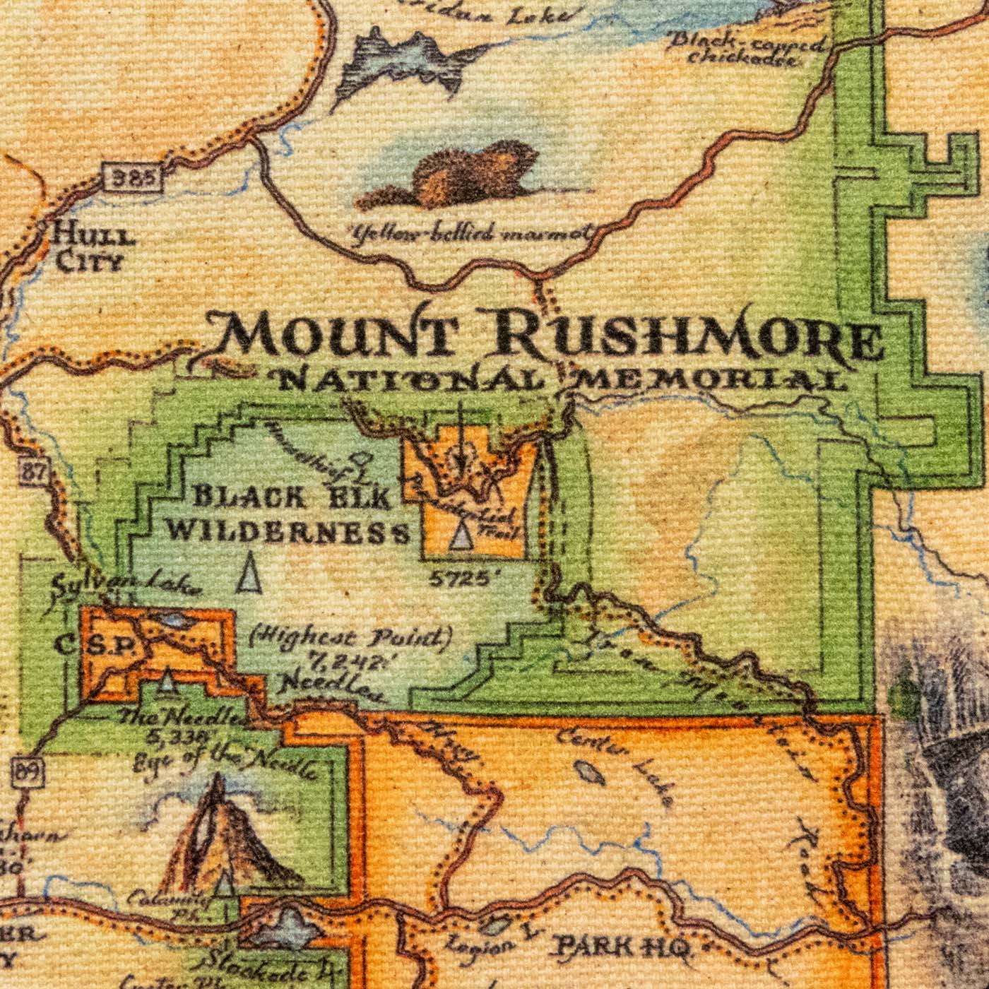
An 18 by 15 inch cotton canvas tote bag printed with Xplorer Maps’ hand-drawn map of the Black Hills National Forest. The artwork is by Chris Robitaille, the artist and co-owner of Xplorer Maps, who draws each map by hand in pen-and-ink and then colors it with watercolor washes. It is the same map that runs on the Black Hills poster, mug, blanket, puzzle, and coaster we carry, sized to fit the face of a bag.
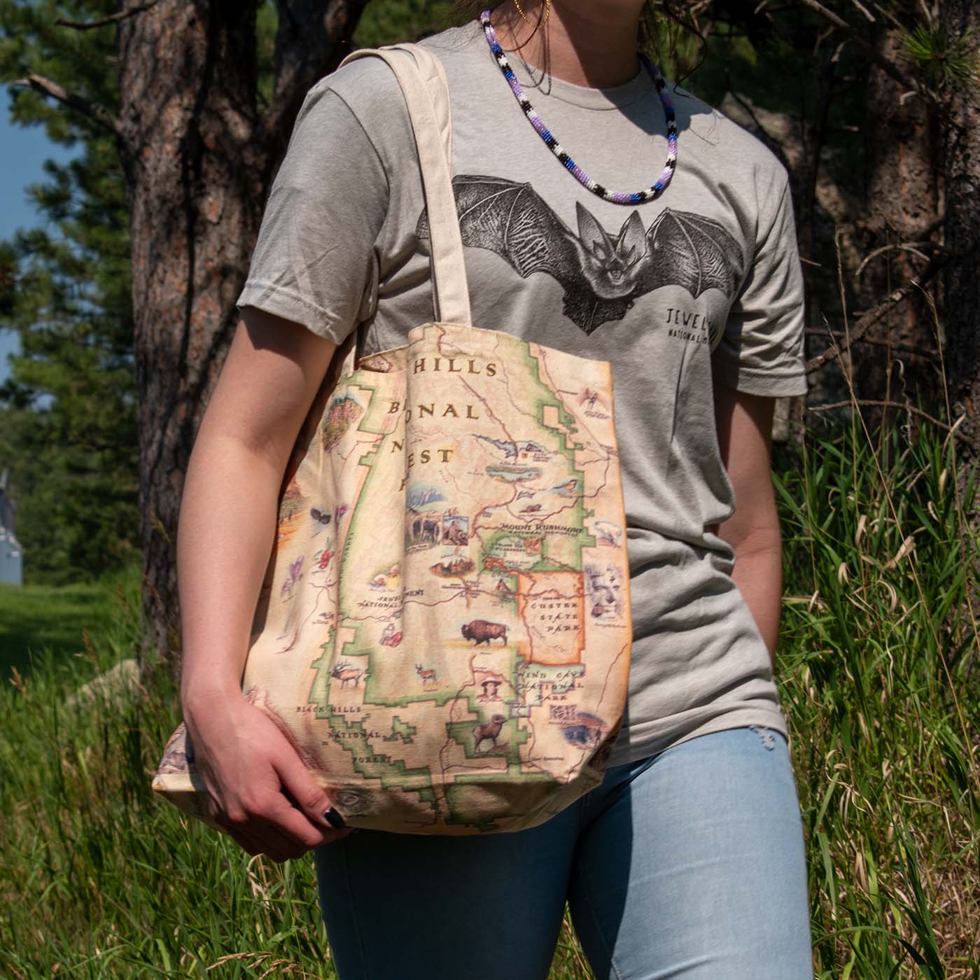
The bag itself is a plain, well-behaved tote. Two shoulder-length handles in natural undyed canvas, a band of natural canvas across the top, and the map printed below it on both sides, carrying across the gusset so the artwork runs the whole way around. It folds down to roughly 7 by 4 inches, so it lives in a glovebox or the lid pocket of a daypack until you need it, and it holds a grocery run, a stack of books, or a day’s worth of trail gear when you do.
What is on the map
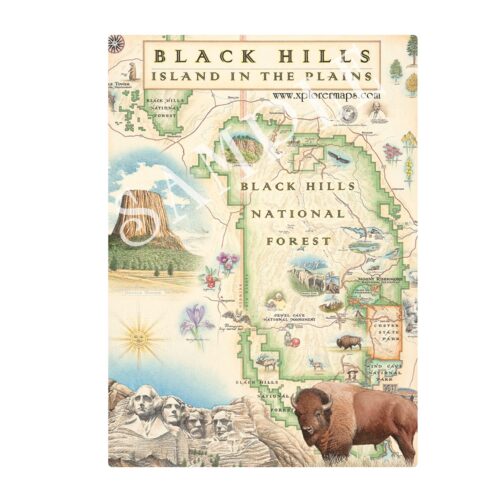
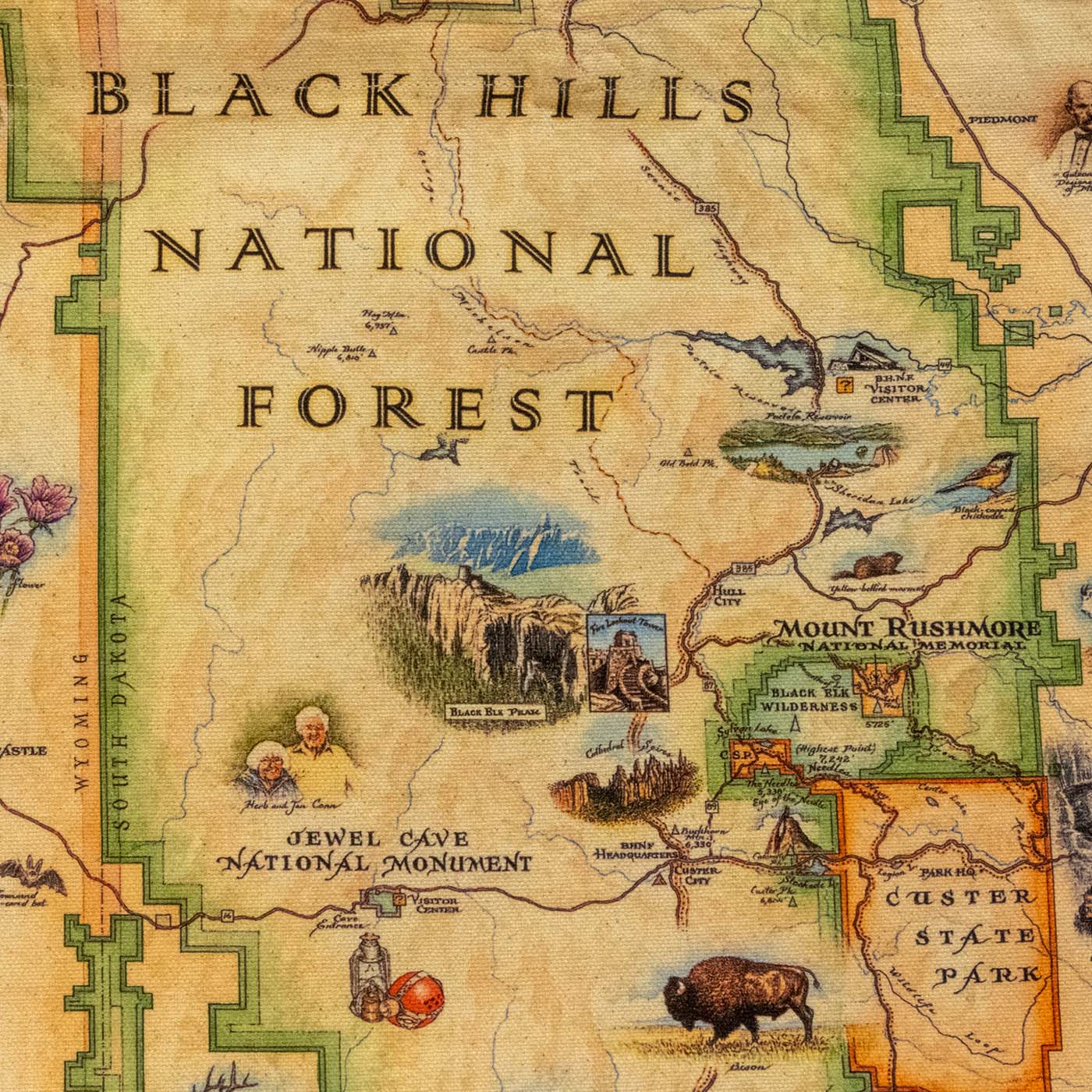
The map covers the Black Hills across western South Dakota and into eastern Wyoming, with the Forest Service boundary drawn in green. Landmarks illustrated and labeled include:
- Jewel Cave National Monument. Western Black Hills, with the visitor center and the cave entrance marked. Herb and Jan Conn, who surveyed most of the early cave, are drawn in beside it.
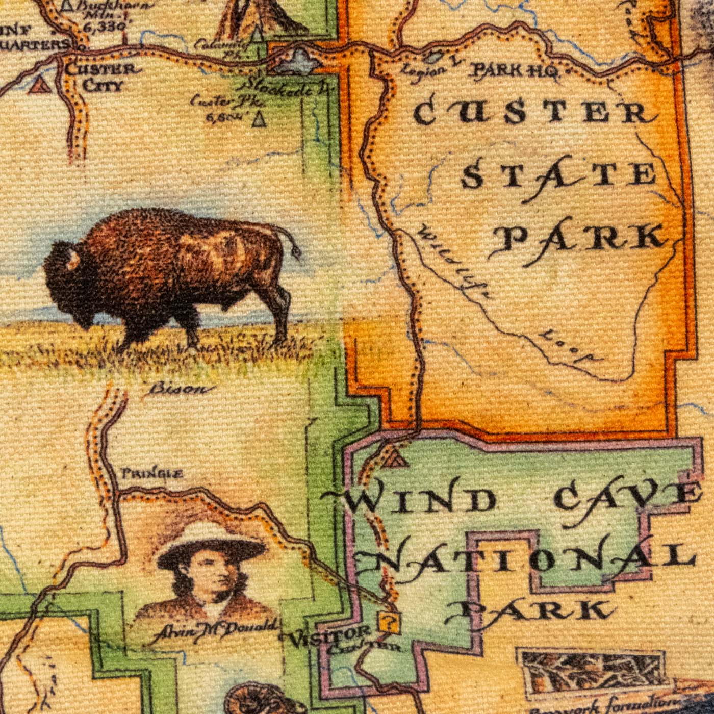
- Wind Cave National Park. Southern Black Hills, with the visitor center marked, an inset of the cave’s boxwork formations, and a portrait of Alvin McDonald, the teenager who explored and mapped it in the 1890s.
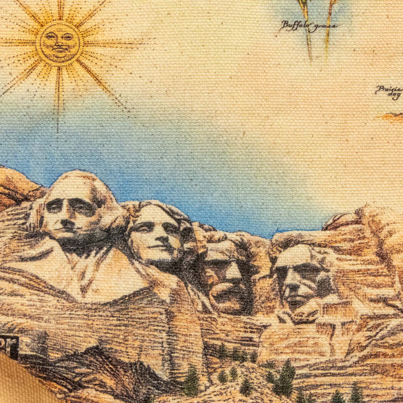
- Mount Rushmore National Memorial. Labeled on the map, and drawn again at large scale across the bottom left corner.
- Black Elk Peak and the Black Elk Wilderness. Marked at 7,242 feet, the highest point in South Dakota and the Black Hills.
- The Needles. The granite spires at 5,338 feet, with the Eye of the Needle and Sylvan Lake alongside.
- Custer State Park. Outlined in orange, with the Wildlife Loop, Park Headquarters, Legion Lake, Center Lake, and Stockade Lake.
- Devils Tower and Spearfish Canyon. Drawn as vignettes across the top of the map.
- Pactola Reservoir and Sheridan Lake, plus the Black Hills National Forest visitor center and headquarters, a fire lookout tower, and highways 385, 87, 89, and 16.
Around and between the labels are the animals and plants, each one drawn and hand-lettered: bison, elk, pronghorn, bighorn sheep, mountain lion, prairie dog, beaver, yellow-bellied marmot, bald eagle, black-capped chickadee, and a Townsend’s big-eared bat, with pasque flower, Rocky Mountain iris, buffalo berry, and buffalo grass. A compass rose sits in one corner and a sun with a face in another.
Specifications
- Dimensions: 18 inches wide by 15 inches tall, not counting the handles. Folds to about 7 by 4 inches.
- Material: 100% cotton canvas
- Handles: shoulder-length, natural undyed canvas
- Print: hand-drawn map artwork on both sides of the bag, continuing across the gusset
- Care: machine wash below 85 F. Line drying is the safe bet for the printed side.
- Designer: Chris Robitaille
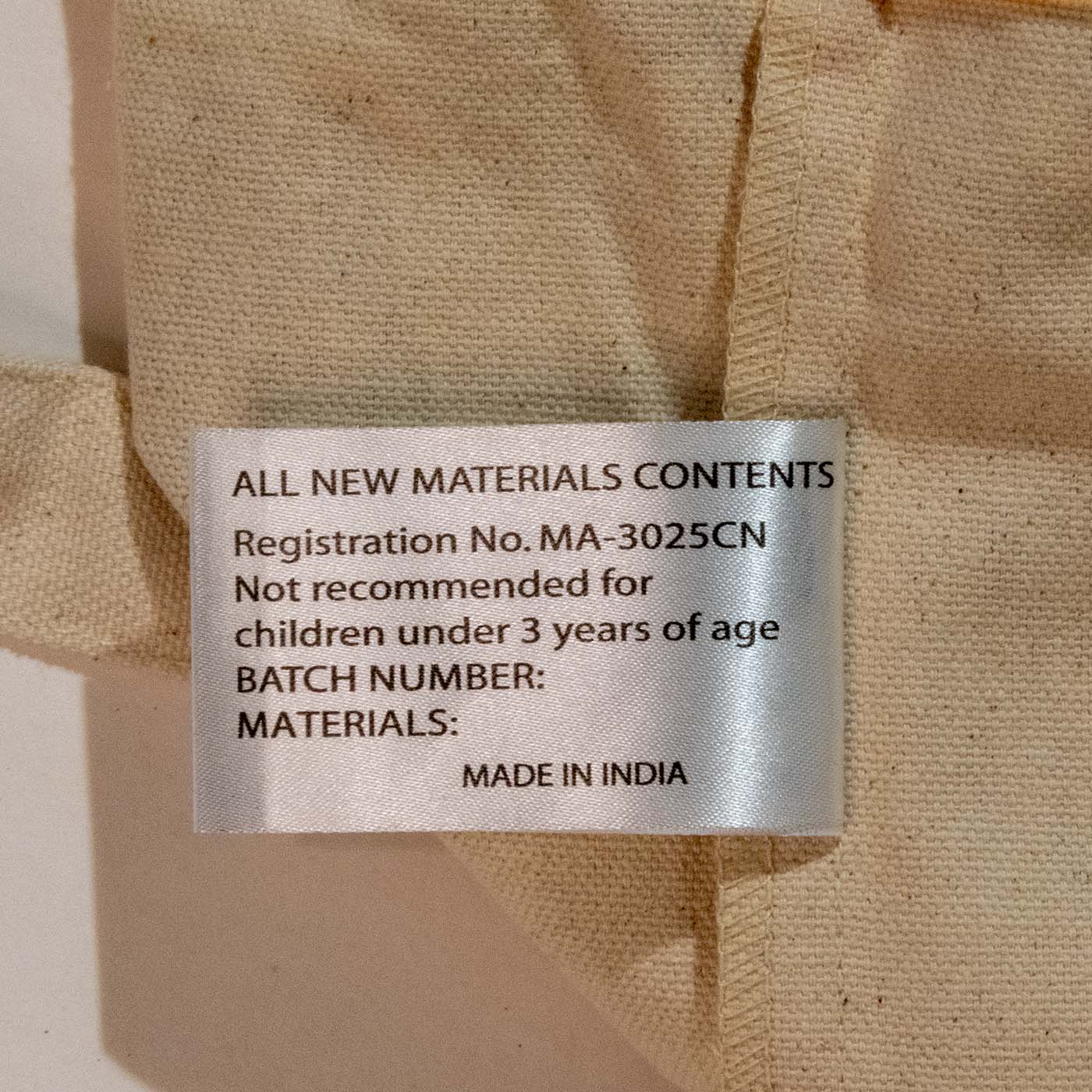
- Manufacturer: Xplorer Maps, Missoula, Montana. Sewn in India.
- Note: the manufacturer does not recommend this bag for children under 3.
Who is this for?
People who actually drove the roads on it. The map is detailed enough that you can find the pullout you stopped at. If someone spent a week in the Hills, most of that week is somewhere on this bag.
Anyone who wants a souvenir they will keep using. A tote gets used. It goes to the farmers market and the grocery store and comes back out of the closet on the next trip, which is more than most shot glasses manage.
Gift buyers working with a budget. At $16.99 it sits under the mug-and-magnet ceiling most people set for a gift, and it does not read as a gas-station souvenir.
People who already own one of the Xplorer maps. If the poster is already on their wall, this is the version they can carry.
Frequently asked questions
How big is it, really?
18 inches wide by 15 inches tall, not counting the handles. That is a standard grocery-tote footprint: a paper sack of groceries, a laptop and a notebook, or a towel and a water bottle. The handles are shoulder length, so you can carry it on your shoulder rather than in your hand.
Is the map on both sides?
Yes. Both faces of the bag are printed, so it reads as the map whichever way it hangs off your shoulder. The handles and the band along the top are left as plain natural canvas.
Is it actually cotton?
Yes, 100% cotton canvas. It is a lightweight canvas rather than a stiff heavyweight duck, which is why it folds down to about 7 by 4 inches.
Can I wash it?
Yes. Machine wash below 85 F. We would line dry it rather than run it through a hot dryer, since heat is what fades a print like this.
Who drew the map?
Chris Robitaille, the artist and co-owner of Xplorer Maps in Missoula, Montana. He draws each map in pen-and-ink and watercolor, in the style of the fold-out park maps the Park Service printed before computer cartography took over. Every label on this map is hand-lettered.
Is this the same map as the poster and the blanket?
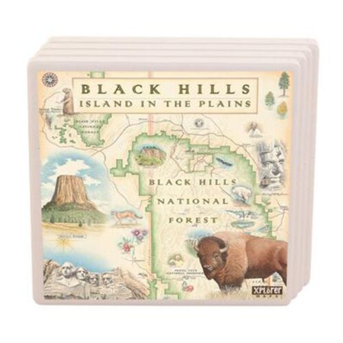
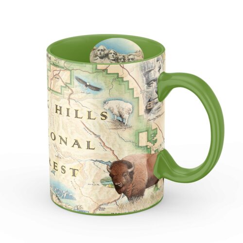
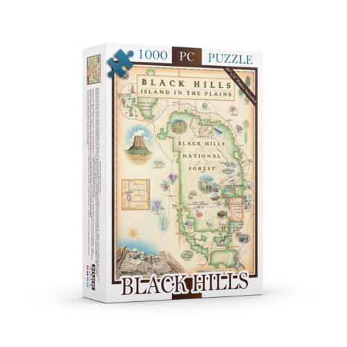
Yes. Xplorer Maps prints this Black Hills artwork on several items and we carry the ones that fit our park stores: the 18 x 24 print, the fleece blanket, the 16 oz mug, the 1000-piece puzzle, the ceramic coaster, the shot glass, and the wood sign.
Does Mount Rushmore being on the map mean BHPFA works there?
No. The map covers the whole Black Hills region, so it includes places run by other agencies, including Mount Rushmore National Memorial and Custer State Park. BHPFA is the nonprofit partner of Wind Cave National Park, Jewel Cave National Monument, Scotts Bluff National Monument, and Agate Fossil Beds National Monument, plus the Black Hills National Forest and the Nebraska National Forests and Grasslands.
Does buying this support the parks?
Yes. Black Hills Parks & Forests Association is the official nonprofit partner of Wind Cave National Park, Jewel Cave National Monument, Scotts Bluff National Monument, and Agate Fossil Beds National Monument, as well as the Black Hills National Forest and Nebraska National Forests & Grasslands. Proceeds from every purchase support education programs, conservation projects, and visitor services at these sites.
About the artwork
Xplorer Maps was started by two brothers in Missoula, Montana, one an artist and one a geography enthusiast. Chris Robitaille draws the maps first in pen-and-ink, then lays in watercolor, then scans the finished piece for printing. The reference points are the early-twentieth-century park maps that the Park Service handed out as fold-out brochures: hand-lettered place names, brushed contour shading, and wildlife drawn in the margins as small scenes rather than dropped in as icons.
Two of the portraits on this map have books behind them in our store. Alvin McDonald, drawn near Wind Cave, kept a diary while exploring the cave as a teenager in the 1890s, published as The Alvin McDonald Diary. Herb and Jan Conn, drawn near Jewel Cave, spent two decades surveying that cave and wrote about it in The Jewel Cave Adventure.