Description
What is the Black Hills map fleece blanket?
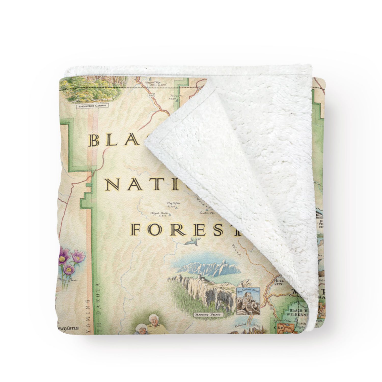
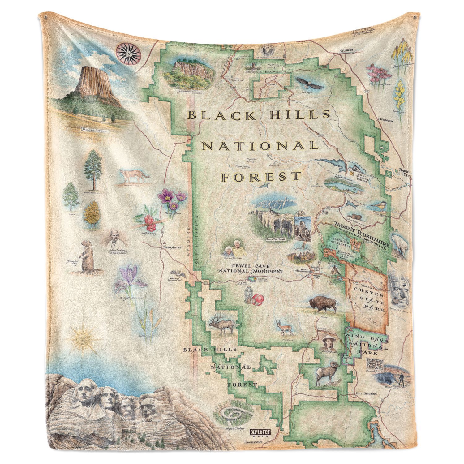
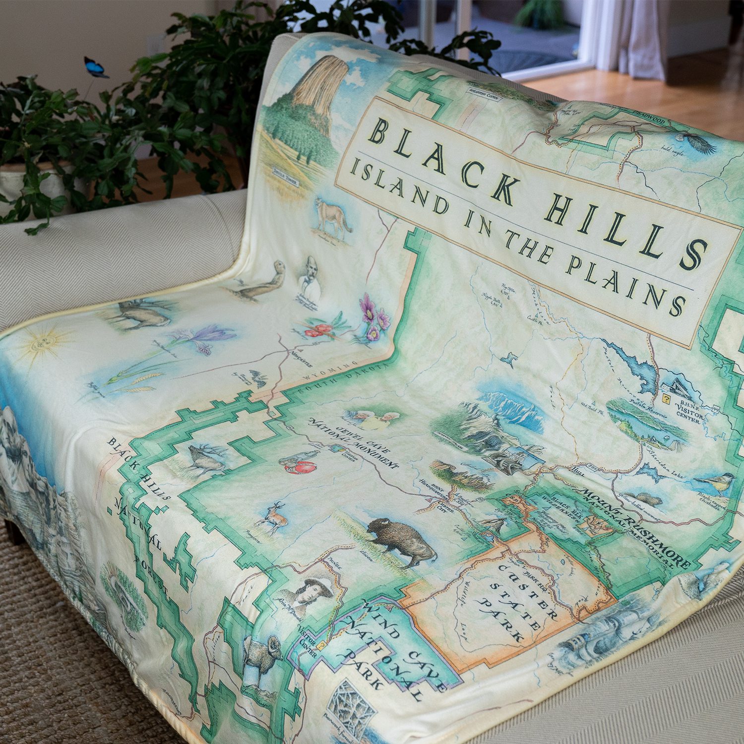
This is a 58 x 50 inch fleece throw blanket printed edge to edge with Xplorer Maps’ hand-drawn map of the Black Hills National Forest. The artwork is by Chris Robitaille, the artist and co-owner of Xplorer Maps, who draws each map by hand in pen-and-ink with watercolor. No stock photography, no software-generated terrain, no licensed clip art. Every label, every hill shading, every animal illustration was drawn for this map.
The blanket is a fleece throw, not a woven blanket. The map is printed on a 50% Berber fleece and 50% microfiber fleece face, which gives it a soft hand on both sides and a lightweight drape suitable for a couch, a car, a camp chair, or a kid’s reading nook. It is machine washable in cool water but cannot go in the dryer or under an iron, since the heat would damage the print.
Xplorer Maps is based in Missoula, Montana. They make hand-drawn map products (blankets, mugs, posters, shot glasses, totes) for national parks, national forests, and regional landmarks across the US. Their Black Hills line is sold by BHPFA and a handful of other cooperating retailers in the region.
What’s on the map
Robitaille’s Black Hills artwork pulls from the entire Black Hills region, not just the Forest Service boundary. Landmarks and features illustrated on the map include:
- Mount Rushmore National Memorial. The carved granite memorial in the central Black Hills.
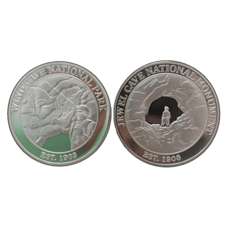
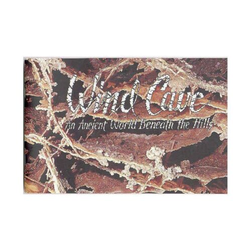
- Wind Cave National Park. Southern Black Hills, mixed-grass prairie above the seventh-longest cave in the world.
- Jewel Cave National Monument. Western Black Hills, third-longest cave in the world.
- Devils Tower National Monument. Just over the Wyoming line, the columnar igneous laccolith that rises 867 feet above the Belle Fourche River.
- Custer State Park. South Dakota state park with one of the largest free-roaming bison herds in the country.
- Black Elk Peak. Highest point east of the Rockies at 7,242 feet, in the Black Elk Wilderness of the Black Hills National Forest.
- The Needles. The granite spires along the Needles Highway in the central Black Hills.
- Deadwood. The historic gold-rush town in the northern Black Hills.
The wildlife illustrated on the map includes bison, elk, bighorn sheep, bald eagles, and Black Hills flora (rocky mountain iris, buffalo berries). The whole map reads as one continuous illustrated landscape rather than a list of icons floating on a flat background.
Specifications
- Dimensions: 58 x 50 inches
- Weight: approximately 29.1 oz (1.8 lb)
- Material: 50% Berber fleece, 50% microfiber fleece
- Print: all-over, edge-to-edge, hand-drawn map artwork
- Care: machine wash in water below 85 F. Do not tumble dry. Do not iron.
- Designer: Chris Robitaille
- Manufacturer: Xplorer Maps, Missoula, Montana
Who is this for?
Anyone who has spent real time in the Black Hills. If you can point to a road on this map and remember driving it, the blanket is for you. The map covers enough of the region (Wind Cave south to Devils Tower north, Custer west to Mount Rushmore east) that most Black Hills trips show up on it somewhere.
Gift buyers. A throw blanket in the 58 x 50 inch range works for almost any household. The hand-drawn artwork is the differentiator versus the printed-fleece souvenir blankets you find at every roadside gift shop. The recipient will know it was not picked up at a gas station.
Map and illustration collectors. Robitaille’s line of hand-drawn national-park maps has a small but devoted following. If the recipient already owns one of his other maps (Yellowstone, Glacier, RMNP, Grand Canyon, USA), this is the regional addition.
Frequently asked questions
Is this a woven blanket or a printed one?
It is printed. The map artwork is printed on a fleece face (50% Berber fleece, 50% microfiber fleece). It is not a woven jacquard blanket like a Pendleton. The trade-off: lighter weight and a more detailed, full-color image than weaving could produce, but it cannot go in the dryer.
How big is it really?
58 inches by 50 inches. That is a single-person throw, not a bedspread. It is large enough to wrap around an adult on a couch or to cover one person in a car or camp chair. It is not large enough for a queen or king bed.
Can I machine wash it?
Yes, in cool water below 85 F (about 29 C). Do not tumble dry, do not iron. The heat will damage the printed surface. Air dry flat or hang it.
Who designed the map?
Chris Robitaille, the artist and co-owner of Xplorer Maps. The Black Hills map is one of dozens of hand-drawn maps in the Xplorer Maps catalog. Robitaille draws each map in pen-and-ink and watercolor in an antique cartographic style.
What landmarks are on the map?
Mount Rushmore, Wind Cave National Park, Jewel Cave National Monument, Devils Tower, Custer State Park, Black Elk Peak, the Needles, and Deadwood, along with bison, elk, bighorn sheep, and bald eagles. The map covers the Black Hills region across South Dakota and into eastern Wyoming.
Does buying this support national parks?
Yes. Black Hills Parks & Forests Association is the official nonprofit partner of Wind Cave National Park, Jewel Cave National Monument, Scotts Bluff National Monument, and Agate Fossil Beds National Monument, as well as the Black Hills National Forest and Nebraska National Forests & Grasslands. Proceeds from every purchase support education programs, conservation projects, and visitor services at these sites.
Where can I see the blanket in person?
The Black Hills blanket is in stock at our Wind Cave National Park visitor center store. You can also pick it up online for shipping anywhere in the US.
Is this part of a larger Xplorer Maps line?
Yes. Xplorer Maps makes the same Black Hills artwork on a ceramic mug, a shot glass, a sticker, and a poster. We carry the items that fit BHPFA’s park-store catalog. Ask at the Wind Cave visitor center for current stock.
About the artwork
Chris Robitaille started Xplorer Maps in Missoula in the early 2010s. The maps are drawn first in pen-and-ink, then colored with watercolor washes, then scanned for printing. The visual reference points are early-20th-century park maps, the kind the Park Service used to distribute as fold-out brochures, before computer-generated cartography became standard. The Black Hills map fits that style: the labels are hand-lettered, the contour shading is washed by brush, and the wildlife is drawn in the corners and margins as small narrative scenes rather than icons.