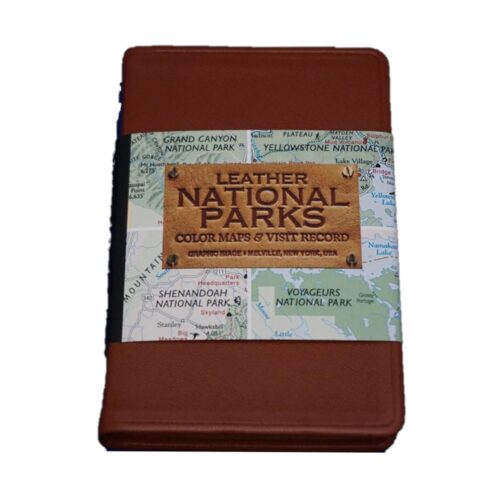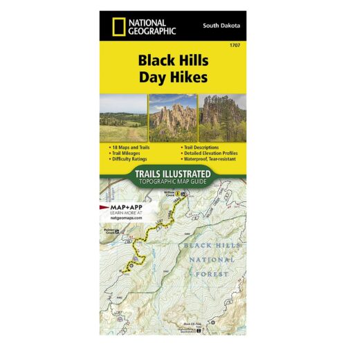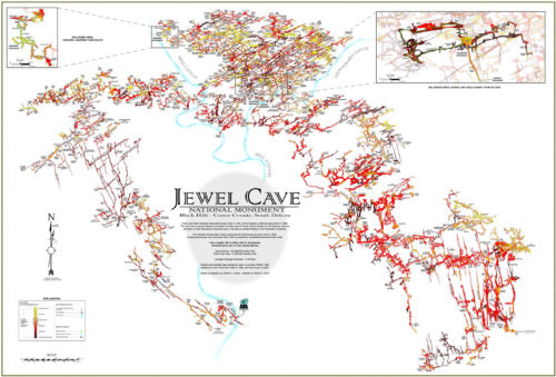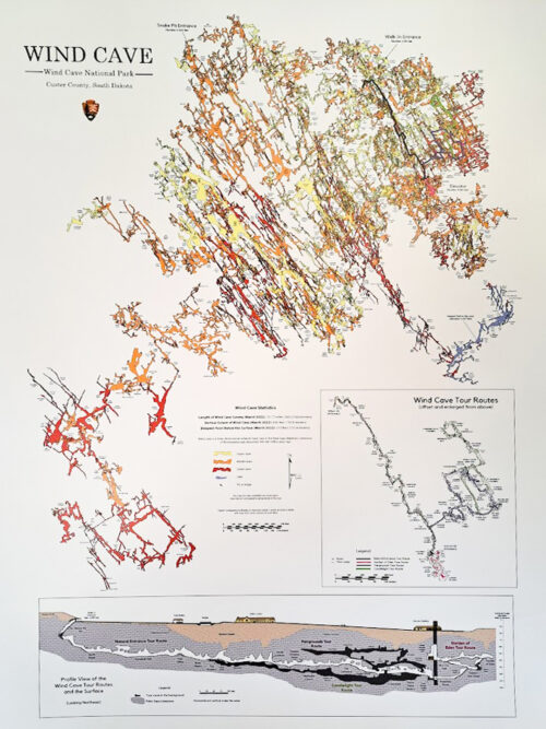

Discover the perfect guides for your Black Hills adventure in our Maps and Atlases category. Our collection includes detailed maps and comprehensive atlases to help you navigate the stunning landscapes, hiking trails, and attractions of the Black Hills region and our partners in Western Nebraska.
Whether you’re planning a hiking trip, a scenic drive, or a historical tour, our maps and atlases provide the essential information you need. Shop now to ensure you have the best tools for exploring this beautiful area with confidence and ease.
-
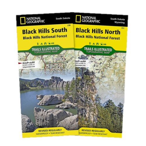
Combo Pack: Explore both the North and South Black Hills with this waterproof, tear-resistant Map Pack Bundle. 15% discount! Black Hills North Map: Covers iconic spots like Roughlock Falls, Pactola Reservoir, and Spearfish Canyon, plus hundreds of trail markers and points of interest. Black Hills South Map: Includes popular sites like Mount Rushmore, Wind Cave National Park, and Jewel Cave National Monument.
-
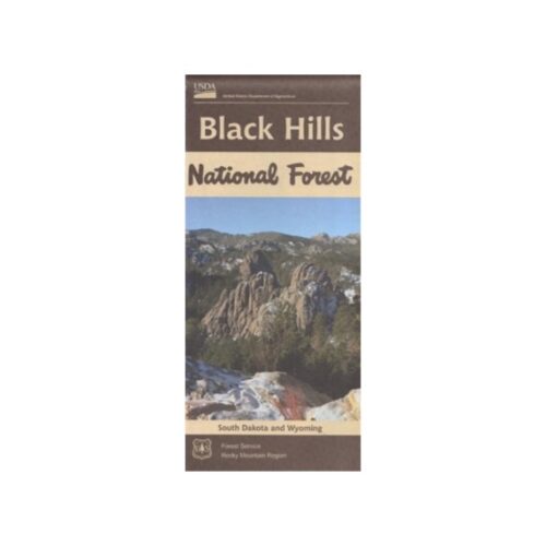
Out of stockExplore the Black Hills area with the comprehensive Black Hills National Forest Recreation Map. This water-resistant and tear-resistant map, updated in 2017, covers South Dakota and Wyoming, including roads, trails, campgrounds, and boundaries.
-
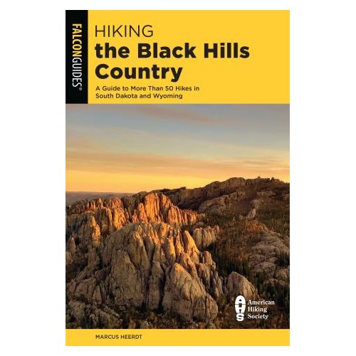
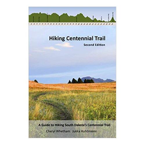
SECOND EDITION. Paperback