Description
About this guide
The Centennial Trail runs approximately 111 miles through South Dakota’s Black Hills, from the summit of Bear Butte in the north to Wind Cave National Park in the south. It passes through Black Hills National Forest, Black Elk Wilderness, Norbeck Wildlife Preserve, Custer State Park, and Wind Cave National Park. The route crosses prairie, ponderosa pine forest, granite spire terrain, and creek drainages. It is open to hikers, mountain bikers (with restrictions in designated wilderness and park areas), and horseback riders.
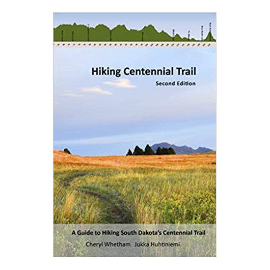
This is the second edition of the guide by Cheryl Whetham and Jukka Huhtiniemi, two hikers who set out to complete the trail themselves and found the available information badly lacking. The first edition came out in 2018. This 2020 revision adds 36 pages of new content, expanded maps, and guidance contributed by four additional trail users: Shan Holyoak, Kerry Greear, Chris Stores, and Tara Flanery, each bringing a different perspective on the route.
At 127 pages in full color, it is a practical working document, not a coffee-table book. The 6″ x 9″ format fits in a daypack pocket.
What is covered
The trail is divided into 19 sections. Each section includes a difficulty rating, route map with distance and elevation data, elevation profile, estimated hiking time, trailhead directions with GPS coordinates, water source locations, camping and resupply notes, and fauna and flora callouts. The second edition adds mode-specific guidance for thru-hikers, bikers, runners, and horseback riders, along with information on more than 40 connecting trails branching off the main route.
Specifications
- Title: Hiking Centennial Trail: A Guide to Hiking South Dakota’s Centennial Trail
- Authors: Cheryl Whetham and Jukka Huhtiniemi
- Edition: Second (2020)
- ISBN-13: 9798634016900
- Pages: 127
- Format: Paperback, full color
- Dimensions: 6″ x 9″
- Weight: 10 oz
Who this is for
If you are planning a day hike on one section of the Centennial Trail, this guide gives you the elevation data and GPS coordinates to plan without guesswork. If you are attempting a thru-hike, the second edition is the most current resource available and the only one written by people who have actually completed the route. Mountain bikers and runners will find the mode-specific sections useful, since the Centennial Trail has different access rules depending on which land management agency controls each segment.
It also works as a planning resource for visitors to Wind Cave National Park or Black Hills National Forest who want to understand what the trail connects to and where the trailheads are relative to the campgrounds and visitor centers.
Frequently asked questions
What is the Centennial Trail?
The Centennial Trail is a long-distance trail in the Black Hills of South Dakota established in 1989 to mark South Dakota’s centennial as a state. It runs from Bear Butte State Park near Sturgis in the north to Wind Cave National Park in the south. It became a National Recreation Trail in 2005. The trail passes through multiple land management jurisdictions including Black Hills National Forest, which is a BHPFA partner site.
What is the difference between the first and second edition?
The second edition (2020) adds 36 pages over the first edition (2018). New content includes expanded maps, thru-hiker guidance, mountain bike and horseback rider sections, updated water source information, resupply notes, camping regulations, and coverage of more than 40 connecting trails. If you have the first edition, the second is worth replacing it.
Is this guide useful for day hikers or just thru-hikers?
Both. The 19-section format makes it easy to pick one or two sections that match your time and fitness level. Each section has its own trailhead GPS coordinates, so you can drive to the section you want without reading the whole book first.
Does the guide cover mountain biking and horseback riding?
Yes. The second edition includes mode-specific guidance for mountain bikers, runners, and horseback riders alongside the hiking sections. Access rules vary by land management area (wilderness areas prohibit bikes; some NPS sections restrict horses), and the guide notes these restrictions per section.
Does buying this book support national parks?
Yes. BHPFA is the official nonprofit partner of Wind Cave National Park, Jewel Cave National Monument, Scotts Bluff National Monument, and Agate Fossil Beds National Monument, as well as the Black Hills National Forest and Nebraska National Forests & Grasslands. Proceeds from every purchase support education programs, conservation projects, and visitor services at these sites.
Where can I pick this up in person?
This guide is available at BHPFA bookstores at Wind Cave National Park and Black Hills National Forest visitor contact stations. Check current stock at those locations before making a dedicated trip.
Is this guide waterproof?
No. The book is a standard paperback. For wet conditions, carry it in a zip-lock bag or a waterproof map case. The GPS coordinates in the book can be transferred to a navigation device or phone app before you head out.
What is the trail’s elevation change?
The full route has over 3,500 feet of total elevation gain. The highest point along the route is Mount Warner at approximately 5,889 feet. Individual sections vary widely, from relatively flat prairie segments to strenuous climbs through the granite spire terrain in the central Black Hills.