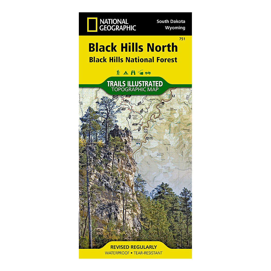
Black Hills North Trails Illustrated Map by National Geographic
$14.95
Out of stock
Shipping calculated in cart/checkout: Shipping rates for first items start at $7, calculated based on weight of total order.
National Geographic’s Trails Illustrated topographic map of the northern Black Hills (Map #751), printed on waterproof, tear-resistant “Backcountry Tough” synthetic paper. This is the single North sheet, the same map the Forest Service stocks at its visitor centers.
- Map #751, Black Hills North, Black Hills National Forest
- Covers Spearfish Canyon, Roughlock Falls, Pactola Reservoir, Deerfield and Sheridan Lakes, Fort Meade Recreation Area
- Scale 1:70,000 with a full UTM grid for GPS use
- Folded 4.25″ x 9.25″; unfolded 25.5″ x 37.75″; waterproof and tear-resistant
- Proceeds support the Black Hills National Forest and other BHPFA partner parks and forests.
Out of stock
Black Hills North Trails Illustrated Map by National Geographic
$14.95
Out of stock
Shipping calculated in cart/checkout: Shipping rates for first items start at $7, calculated based on weight of total order.
National Geographic’s Trails Illustrated topographic map of the northern Black Hills (Map #751), printed on waterproof, tear-resistant “Backcountry Tough” synthetic paper. This is the single North sheet, the same map the Forest Service stocks at its visitor centers.
- Map #751, Black Hills North, Black Hills National Forest
- Covers Spearfish Canyon, Roughlock Falls, Pactola Reservoir, Deerfield and Sheridan Lakes, Fort Meade Recreation Area
- Scale 1:70,000 with a full UTM grid for GPS use
- Folded 4.25″ x 9.25″; unfolded 25.5″ x 37.75″; waterproof and tear-resistant
- Proceeds support the Black Hills National Forest and other BHPFA partner parks and forests.
Out of stock
Real USPS rates, no markup. The money we save funds trail crews and internships.
Join BHPFA for $30 a year -> get your code by email in seconds. -> Use it at checkout today. Show your card at hundreds of nonprofit park stores nationwide for 10% off.
Every item is selected or approved by rangers and staff. Your purchase keeps them on the front lines.
Real USPS rates, no markup. The money we save funds trail crews and internships.
Join BHPFA for $30 a year -> get your code by email in seconds. -> Use it at checkout today. Show your card at hundreds of nonprofit park stores nationwide for 10% off.
Every item is selected or approved by rangers and staff. Your purchase keeps them on the front lines.
Description
What it is
This is the Black Hills North sheet (Map #751) in National Geographic’s Trails Illustrated topographic series, sold as a single map. The Black Hills National Forest is roughly 1.25 million acres, too large to show at a useful 1:70,000 scale on one sheet, so the series splits coverage into a North and a South map. This North sheet covers the northern half. It prints on the same waterproof, tear-resistant synthetic paper used across the Trails Illustrated line, so it holds up to rain, sweat, and being folded and refolded in a pack pocket.
What this sheet covers
The North sheet takes in the country around Spearfish, Lead, Deadwood, and Rapid City. Recreation features include the Spearfish Canyon Scenic Byway, Roughlock Falls, Pactola Reservoir, Deerfield and Sheridan Lakes, the north segment of the Centennial Trail, and the Fort Meade Recreation Area near Sturgis. If your hiking, mountain biking, or OHV plans start in the northern hills, this is the sheet you want.
Specifications
- Map number: 751 (Black Hills North)
- ISBN-13: 9781566953795
- Scale: 1:70,000
- Folded size: 4.25″ x 9.25″
- Unfolded size: 25.5″ x 37.75″
- Paper: waterproof, tear-resistant synthetic
- Navigation: full UTM grid
Who is this for
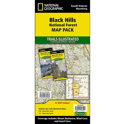
Backcountry users who want a physical reference that keeps working when the battery dies or the cell signal drops. The contour lines, elevations, water features, and numbered forest service roads are real survey data, not a stylized overlay. Visitors coming in from Spearfish, Deadwood, or Sturgis usually want this North sheet; if your trip is centered on Mount Rushmore, Custer State Park, or the cave parks, the South sheet (#238) is the better pick.
Frequently asked questions
Which features are on the North sheet?
Spearfish Canyon Scenic Byway, Roughlock Falls, Pactola Reservoir, Deerfield and Sheridan Lakes, and the Fort Meade Recreation Area, among others.
Is the paper actually waterproof?
Yes. It is printed on National Geographic’s “Backcountry Tough” synthetic paper, which can get wet, dry out, and be refolded without tearing at the creases.
Does it have a UTM grid?
Yes. A full UTM grid is printed on the sheet, which is what you want for GPS navigation and geocaching where cell service is unreliable.
Does buying this support the park?
BHPFA is the official nonprofit partner of Wind Cave National Park, Jewel Cave National Monument, Scotts Bluff National Monument, and Agate Fossil Beds National Monument, as well as the Black Hills National Forest and Nebraska National Forests & Grasslands. Proceeds from every purchase support education programs, conservation projects, and visitor services at these sites.
Every Purchase Makes a Difference
When you shop with Black Hills Parks & Forests Association, you are directly funding:
- Education programs — nature workshops, Junior Ranger activities, and homeschool adventures for kids across the Black Hills
- Trail maintenance — keeping hiking trails safe and accessible at Wind Cave, Jewel Cave, and the Black Hills National Forest
- Visitor services — park store operations, interpretive programs, and the staff who help millions of visitors each year
- Conservation — supporting the long-term health of public lands in the Black Hills and Nebraska
BHPFA is the official nonprofit partner of the National Park Service and U.S. Forest Service in the Black Hills region. We have supported these public lands since 1946.
Additional information
| Weight | 4.5 oz |
|---|---|
| Brand | National Geographic |
Note on International Orders
Some countries charge import duties, VAT, or handling fees on delivery. These are set by your local government and are not included in our checkout total. Customers are responsible for paying any such charges before receiving their package.