
Black Hills Explorer Map Poster
$24.99
In stock
Shipping calculated in cart/checkout: Shipping rates for first items start at $7, calculated based on weight of total order.
In stock
60-day returns · Ships from South Dakota via USPS
Black Hills Explorer Map Poster
$24.99
In stock
Shipping calculated in cart/checkout: Shipping rates for first items start at $7, calculated based on weight of total order.
In stock
60-day returns · Ships from South Dakota via USPS
Real USPS rates, no markup. The money we save funds trail crews and internships.
Join BHPFA for $30 a year -> get your code by email in seconds. -> Use it at checkout today. Show your card at hundreds of nonprofit park stores nationwide for 10% off.
Every item is selected or approved by rangers and staff. Your purchase keeps them on the front lines.
Real USPS rates, no markup. The money we save funds trail crews and internships.
Join BHPFA for $30 a year -> get your code by email in seconds. -> Use it at checkout today. Show your card at hundreds of nonprofit park stores nationwide for 10% off.
Every item is selected or approved by rangers and staff. Your purchase keeps them on the front lines.
Description
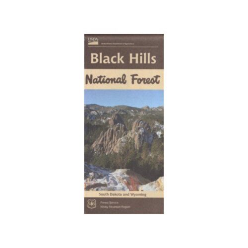
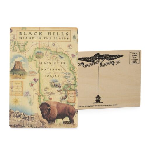
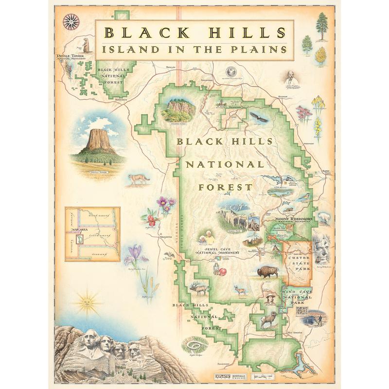
Come face to face with our nation’s history and marvel at the majestic beauty of the Black Hills of South Dakota (and a touch of Wyoming) in this Black Hills National Forest Map.
The four iconic presidents of Mt. Rushmore (Washington, Jefferson, Roosevelt and Lincoln) overlook a National Forest as rich in natural resources as history. Encompassing the Black Hills, the Black Mountains and the Bear Lodge Mountains of Wyoming, this Black Hills National Forest map also includes Wind Cave National Park and Custer State Park.
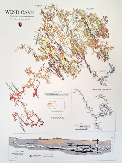
The Black Hills rise from adjacent grasslands into a Ponderosa Pine forest. Described as an “Island in the Plains,” the Forest has diverse wildlife and plants reaching from the Eastern forests to the Western plains. Elk, Mule Deer, Pronghorn Antelope, Mountain Lions and Bighorn Sheep roam the landscape while eagles, falcons and bats take to the sky and wildflowers grace the landscape. From the top of Devil’s tower to the depths of the Wind caves, it’s all gorgeously illustrated in the Xplorer Maps exclusive Black Hills National Forest Map.
The Black Hills National Forest Map is 18″ wide x 24″ tall.
Every Purchase Makes a Difference
When you shop with Black Hills Parks & Forests Association, you are directly funding:
- Education programs — nature workshops, Junior Ranger activities, and homeschool adventures for kids across the Black Hills
- Trail maintenance — keeping hiking trails safe and accessible at Wind Cave, Jewel Cave, and the Black Hills National Forest
- Visitor services — park store operations, interpretive programs, and the staff who help millions of visitors each year
- Conservation — supporting the long-term health of public lands in the Black Hills and Nebraska
BHPFA is the official nonprofit partner of the National Park Service and U.S. Forest Service in the Black Hills region. We have supported these public lands since 1946.
Additional information
| Weight | 19.8 oz |
|---|---|
| Dimensions | 19 × 2.5 × 2.5 in |
| xplorer map | Map, Note card, Sweat Bandoo, Puzzle |
Note on International Orders
Some countries charge import duties, VAT, or handling fees on delivery. These are set by your local government and are not included in our checkout total. Customers are responsible for paying any such charges before receiving their package.