Skip to content

Plan your visit

Visit our public lands

Seven parks, monuments, forests, and grasslands across the Black Hills and western Nebraska, and one nonprofit that helps you find the right park, program, or store. Start here.

Where to go

Seven public lands, one region

Seven public lands sit within a few hours of each other in the Black Hills and western Nebraska: two major caves, an Oregon Trail landmark, a Miocene fossil site, and more than a million acres of forest and grassland. This page is your starting point for planning a visit to any of them.

Black Hills Parks & Forests Association is the nonprofit cooperating association for all seven. We run the park stores inside the visitor centers and fund education, conservation, and visitor services, while the National Park Service and U.S. Forest Service manage the land and staff the sites. Each site below links to its own page, where you will find current hours, fees, and directions.

  • Two caves. Wind Cave and Jewel Cave, both among the longest mapped caves in the world, linked by US-385 and US-16 through Custer.
  • Nebraska panhandle history. Scotts Bluff on the Oregon Trail and the Miocene fossils at Agate Fossil Beds.
  • Forest and grassland. The Black Hills National Forest, Nebraska National Forests & Grasslands, and the National Grasslands Visitor Center in Wall.

Passport to Your National Parks

Where do I get Passport stamps?

Four of the seven sites cancel the Passport to Your National Parks. They are the National Park Service sites; the Forest Service lands do not have stamps. You can pick up a Passport book in any of our park stores.

  • Wind Cave National Park
  • Jewel Cave National Monument
  • Scotts Bluff National Monument
  • Agate Fossil Beds National Monument
No stamps at the Black Hills National Forest, Nebraska National Forests & Grasslands, or the National Grasslands Visitor Center. Those are U.S. Forest Service sites.

In the Black Hills

Cave country

Wind Cave and Jewel Cave are both in the southern Black Hills. Their visitor centers connect by US-385 and US-16 through Custer. Check your route for the day and allow time for wildlife delays and tour check-in.

Frosty morning light over the mixed-grass prairie at Wind Cave National Park

National Park · NPS Passport stamp

Wind Cave National Park

Wind Cave holds an estimated 95% of the world’s known boxwork, a honeycomb of thin calcite fins you will not find in many other caves anywhere. Above ground, a free-roaming bison herd moves across mixed-grass prairie and ponderosa pine.

  • Below groundWind Cave is among the longest mapped caves in the world. It became a national park in 1903, the first one created to protect a cave.
  • Cave toursRanger-led and by timed ticket. They sell out on busy summer days, so buy early in the morning or aim for a shoulder-season weekday.
  • Above groundBison, elk, and prairie dog towns across the prairie. About 11 miles north of Hot Springs on US-385.
Field noteThere is no self-guided route into the cave. Every trip underground is a ranger-led tour, so plan your day around the schedule.
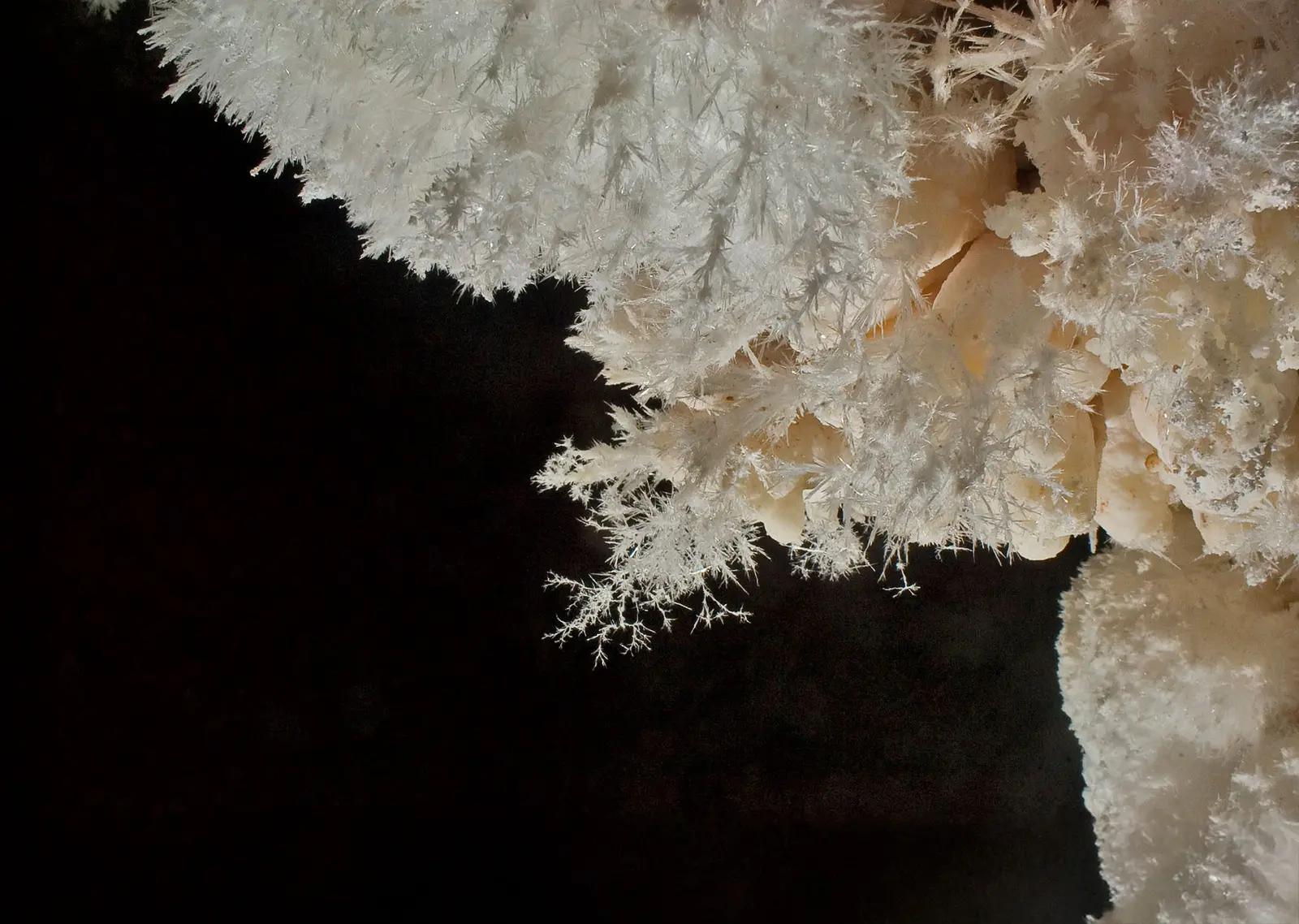
Calcite crystal formations lining a passage in Jewel Cave National Monument

National Monument · NPS Passport stamp

Jewel Cave National Monument

Jewel Cave has more than 220 miles of mapped passages. The National Park Service lists it as the fifth-longest cave in the world, and exploration continues. It is named for the calcite crystals, dogtooth and nailhead spar, that line the walls.

  • Pick a tourCompare tour lengths, stairs, and physical requirements before choosing. The Scenic Tour uses lighted walkways; the Historic Lantern and Wild Caving tours have different requirements and seasonal schedules.
  • Book aheadTours are timed and limited, and the good ones fill fast in summer. Reserve before you drive out rather than counting on a walk-up.
  • Getting thereOn US-16, 13 miles west of Custer. The route to Wind Cave continues through Custer and south on US-385.
Field noteThe cave holds around 49 degrees year-round. Bring a layer and closed-toe shoes even in July.

The Nebraska panhandle

Prairie, fossils, and the Oregon Trail

Two national monuments a few hours south of the Black Hills, close enough to each other to pair on one panhandle day.

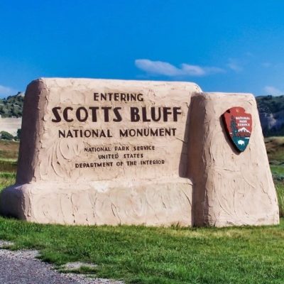
Scotts Bluff National Monument entrance sign

National Monument · NPS Passport stamp

Scotts Bluff National Monument

Scotts Bluff rises about 800 feet above the North Platte River and was one of the great landmarks of the Oregon, California, and Mormon trails. Wagon-wheel swales are still visible in the prairie below.

  • Choose your routeStart with the museum and replica wagons, or take a short walk. The Saddle Rock Trail to the summit is a steeper 1.6 miles each way. Confirm Summit Road access before planning a drive.
  • Walk the trail historyA section of the Oregon Trail runs through the valley, where you can see the ruts the wagons left behind.
  • Getting thereNear Gering, in the western Nebraska panhandle along the North Platte.
Before you goCheck NPS seasonal hours and call 308-436-9700 for current Summit Road access. Vehicles over 25 feet long or 11 feet 7 inches tall, and all trailers, are prohibited.
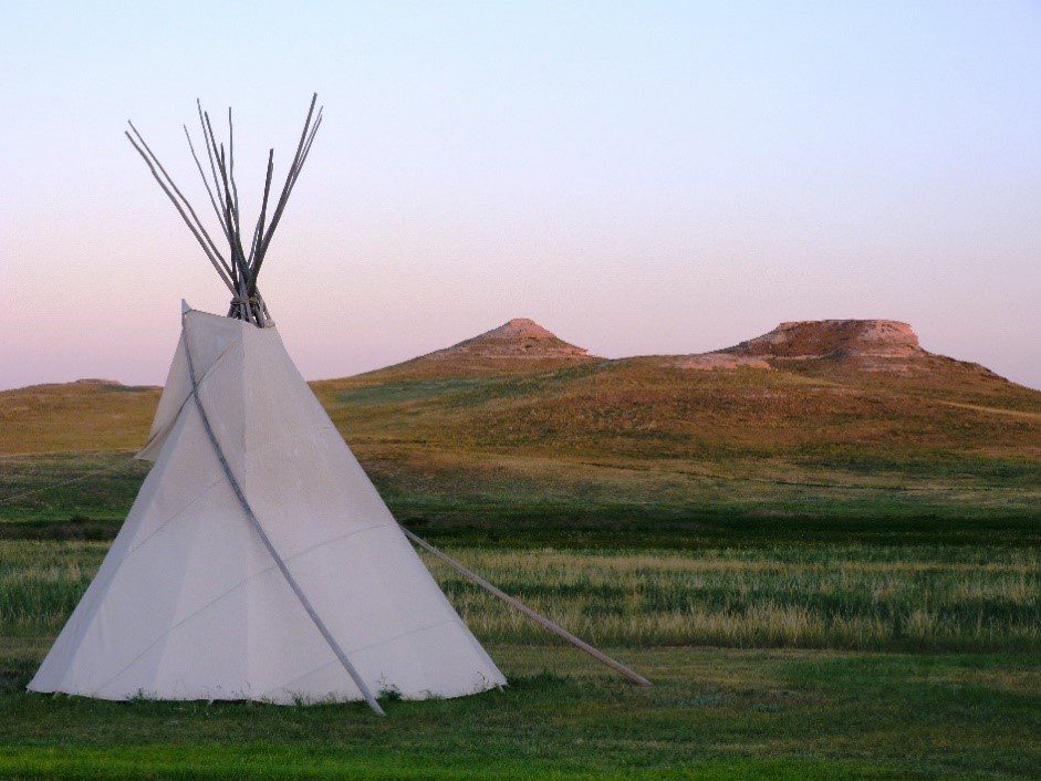
A tipi standing on open prairie at Agate Fossil Beds National Monument

National Monument · NPS Passport stamp

Agate Fossil Beds National Monument

Agate Fossil Beds protects one of the richest Miocene mammal fossil sites in the world, roughly 20 million years old, with early horses, rhinoceroses, and the pig-like entelodont. The visitor center also holds the James H. Cook Collection of Lakota artifacts, many of them gifts from Chief Red Cloud.

  • Two stories in oneThe Fossil Hills trails lead to the old quarries. The museum pairs that paleontology with the Lakota history of the Cook family's friendships.
  • Quiet by designThis is a remote, low-traffic site. Bring water and fuel, because services are thin out here.
  • Getting thereIn the panhandle between Harrison and Mitchell, about an hour from Scotts Bluff, so the two pair well.

Room to roam

Forest and grassland

The public land between the headline sites: more than a million acres of forest, open grassland, and a visitor center that explains the prairie.

Ponderosa pine forest and granite ridges across the Black Hills

National Forest · USFS No Passport stamp

Black Hills National Forest

The Black Hills National Forest is the connective tissue of a Black Hills trip: about 1.25 million acres of ponderosa pine, granite spires, and creeks across South Dakota and Wyoming. It surrounds the caves and the towns and holds most of the trails.

  • Black Elk PeakThe highest point east of the Rockies at 7,242 feet. The summit trail from Sylvan Lake is the classic Black Hills hike.
  • Water and canyonsPactola Reservoir, Sylvan Lake, and Spearfish Canyon for swimming, paddling, and fall color.
  • Easy to add onBecause the forest wraps the whole region, it slots into any cave or town day. A forest map is worth picking up.
Heads upThis is U.S. Forest Service land, so there is no Passport stamp here, but there is a lot of trail.
Nebraska National Forests and Grasslands sign

National Forests & Grasslands · USFS No Passport stamp

Nebraska National Forests & Grasslands

Nebraska National Forests & Grasslands is a patchwork of hand-planted forest and wide-open grassland, some of the least-crowded public land in the region. You can drive a long stretch out here without seeing another car.

  • A hand-planted forestThe Bessey Ranger District grew from one of the largest hand-planted forests in the country, an unusual thing to walk through on the plains.
  • Room to roamGrassland trails, camping, and dark skies, with far fewer people than the Black Hills.
  • Spread outThe units cover a wide swath of Nebraska, so pick a district and check conditions before you go.
National Grasslands Visitor Center sign

Visitor Center · USFS No Passport stamp

National Grasslands Visitor Center

The National Grasslands Visitor Center in Wall, South Dakota explains the prairie you are driving through: how the national grasslands work, what lives in them, and why they are here. Twenty minutes inside changes how the rest of the drive looks.

  • Start hereExhibits on grassland ecology and the 20 national grasslands across the country, plus maps and trip ideas.
  • An easy stopRight in Wall, a simple add-on if you are already passing through on I-90.
  • Then get outsideUse it to plan a stop on the surrounding Buffalo Gap National Grassland.

Before you go

Common questions

The things people ask most when planning a trip out here. Each site’s own page has the current details.

Which of these parks are free to visit?

The National Park Service sites do not charge an entrance fee: Wind Cave, Jewel Cave, Scotts Bluff, and Agate Fossil Beds are all free to enter. The ranger-led cave tours at Wind Cave and Jewel Cave have a separate ticket price. The national forest and grassland lands are free too, though some developed campgrounds and day-use areas charge a fee.

Do I need a reservation for the cave tours?

In summer, plan on it. Wind Cave and Jewel Cave both run ranger-led tours by timed ticket, and the popular tours sell out on busy days. Reserve ahead or arrive early in the day, especially June through August. In the off-season it is much easier to walk up and get on a tour.

How many days do I need?

You can tour one cave in half a day. A good Black Hills trip runs two to three days for both caves plus some forest time. Adding Scotts Bluff and Agate Fossil Beds in the Nebraska panhandle is another full day or an overnight, since they sit a few hours south of the Hills.

Where do I get Passport stamps?

The four National Park Service sites cancel the Passport to Your National Parks: Wind Cave, Jewel Cave, Scotts Bluff, and Agate Fossil Beds. The Black Hills National Forest, Nebraska National Forests and Grasslands, and the National Grasslands Visitor Center are Forest Service sites and do not have Passport stamps. You can buy a Passport book in any of our park stores.

When is the best time to visit?

Late spring through early fall has the fullest tour schedules and open roads. Summer is busiest, so book cave tours ahead. September and early October bring smaller crowds and fall color. Winter narrows tour options and closes some roads, so check each site’s page before you drive out.

Programs and events

On the calendar

Night skies, workshops, work days, and story times. Most are free. The good ones fill up.

Full events calendar

Every purchase supports this place

Shop the park stores

We run the bookstores inside the visitor centers. Field guides, maps, and gear, with proceeds going back into education, interpretation, and visitor services.

Shop the Parks Members save 15% on eligible purchases. Join for $30 a year.