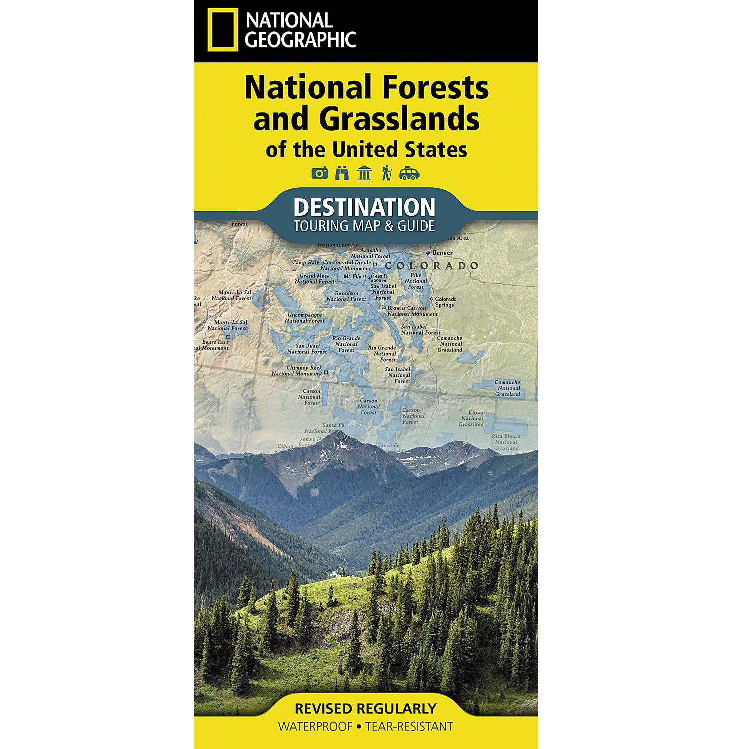
National Forests and Grasslands of the United States Map (National Geographic)
$14.95
|
|
|
Everything in the online park store is ranger-reviewed for accuracy, cultural inclusivity, and to enhance your connection to the park or forest’s educational message. Net proceeds of all BHPFA sales go to “Wonder & Exploration” at our NPS and USFS partners!
• Waterproof • Tear-Resistant • Topographic Map
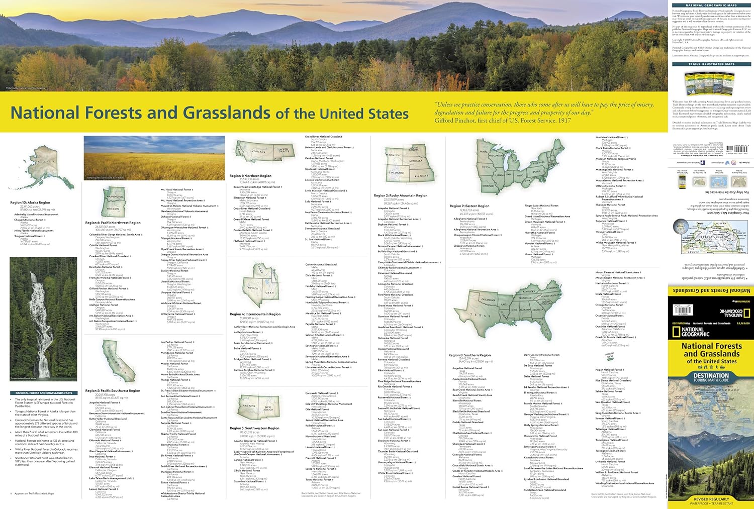
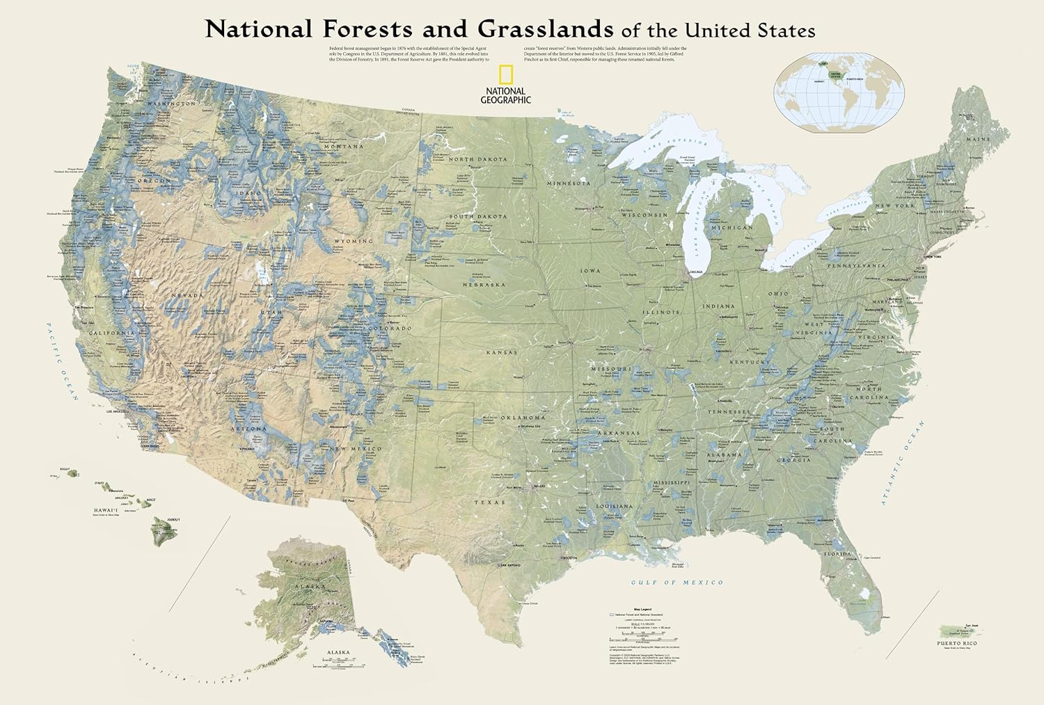
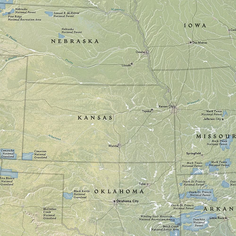
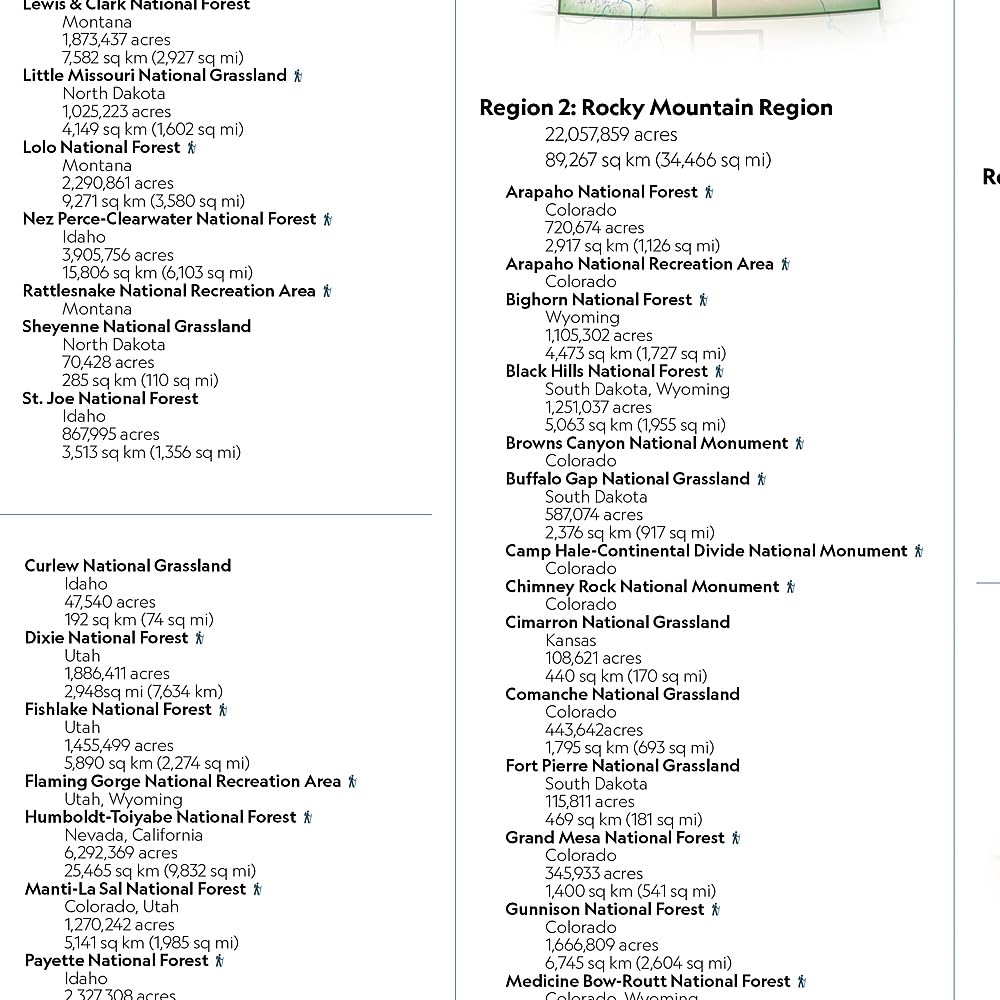
National Geographic’s Destination Map of National Forests and Grasslands of the United States highlights the 154 national forests and 20 national grasslands across America. The country is represented in subtle earth-tones with shaded mountain relief and intricately drawn river systems. Photos capture some of the diverse landscapes preserved and protected by the national forest system. A list of all forest service and grasslands units, sorted by region, is also included to help you find the closest recreational opportuinity.
Every Destination Map is printed on durable synthetic paper, making them waterproof, tear-resistant and tough — capable of withstanding the rigors of any kind of travel.
- Map Scale = 1:5,200,000
- Sheet Size = 37.75″ x 25.5″
- Folded Size = 4.25″ x 9.25″
Additional information
Weight | 3 oz |
---|
Reviews
You may also like…
Why do we charge shipping?
By paying the calculated USPS rate based on the total weight of your order, more of your purchase goes to supporting programs and conservation at your National Parks and National Forests.

There are no reviews yet.