
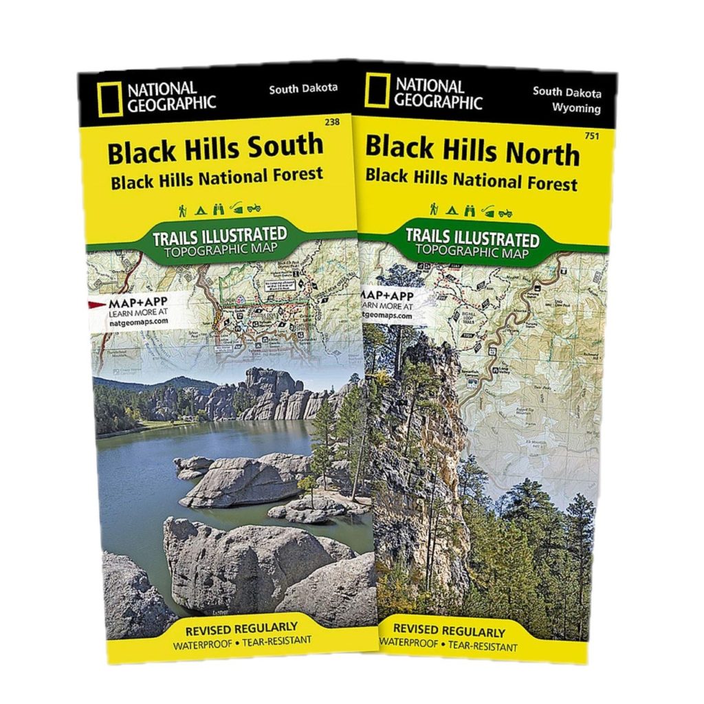

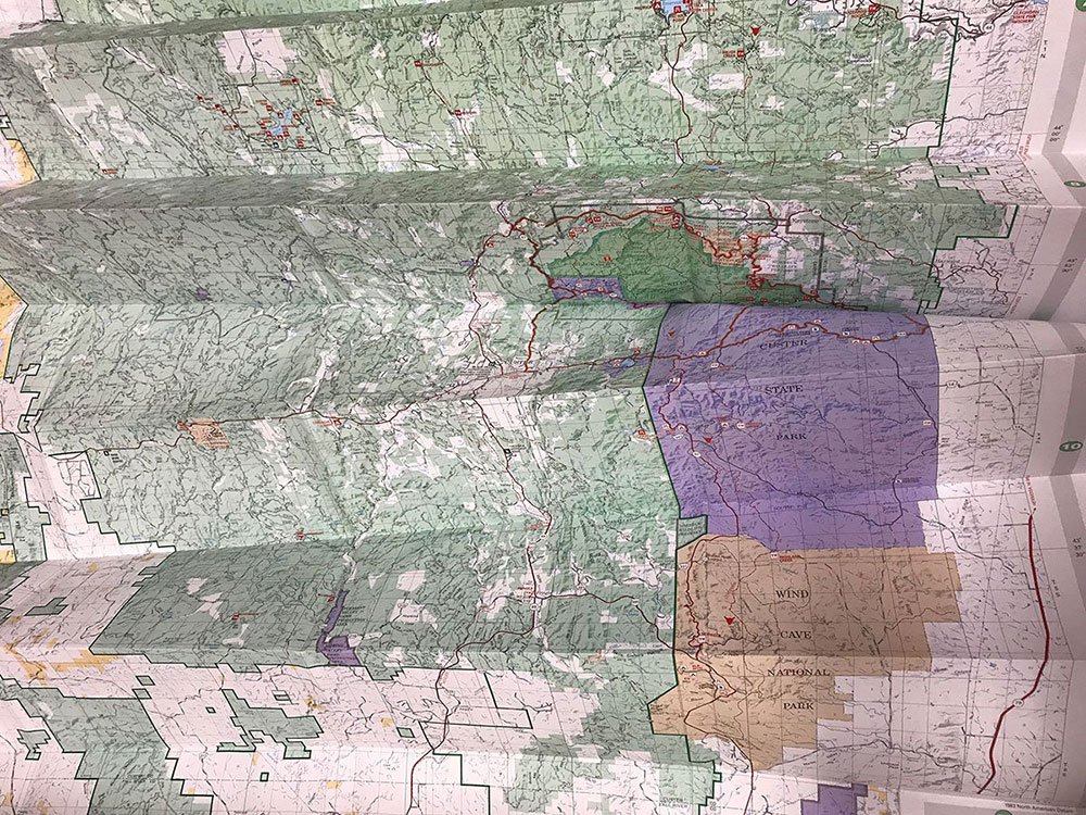
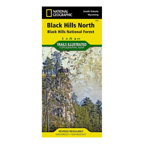
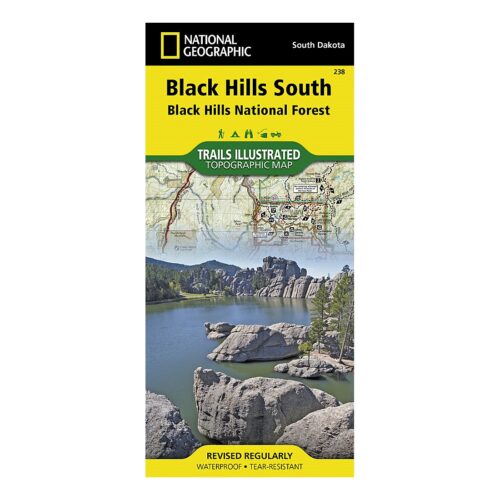
Black Hills National Forest Recreation Map (Updated 2017)
$14.00
In stock
Explore the Black Hills area with the comprehensive Black Hills National Forest Recreation Map. This water-resistant and tear-resistant map, updated in 2017, covers South Dakota and Wyoming, including roads, trails, campgrounds, and boundaries.
In stock

30-Day Return Policy

Fair, Accurate Shipping

20,000 online orders filled

Everything in the online park store is ranger-reviewed for accuracy, cultural inclusivity, and to enhance your connection to the park or forest’s educational message. Net proceeds of all BHPFA sales go to “Wonder & Exploration” at our NPS and USFS partners!
Cart Totals:
Why do we charge shipping?
By paying the calculated USPS rate based on the total weight of your order, more of your purchase goes to supporting programs and conservation at your National Parks and National Forests.

Running Bear –
I’ll be running the Crazy Horse Half Marathon in Sept 2012 and after the race wanted to spend time revisiting the Black Hills. It’s been over 30 yrs since I last visited the area and although the sites haven’t changed, my memory doesn’t recall the area. The Map of the National Forest will definitely help me tour the area for the extra time available. It’s great.
JEFF CHRISTENSEN –
The map will be a great help to us as plan our trip South Dakota. Love the detail and the fishing spot info is an added bonus. Thank you for the prompt delivery.
Anonymous –
I purchased the map hoping to puzzle out where the Mickelson trail lay, and see how far it was from campgrounds along the way. The trail was nicely printed, along with the trailheads. Campgrounds were clearly marked. I like the sale.
Paul Kaiser –
Being retired FS, the map is what I expected and it allows me to see where roads go and where private land is located. Friends and I are planning on a 10 day trip to Nemo in June to camp and ride our ATV’s. Look forward to a great time.
Tom Mitchell –
This map is so large that it makes it almost unusable. The Black Hills NF is about 7.5% larger than the Bighorn NF in terms of acres, yet this map is almost twice as large. It is going to be quite a chore for my navigator (wife) to guide us around the forest. Otherwise it will be an acceptable tool to help plan our visit.
Anonymous –
I have quite a few of these maps. If the government does anything well, its providing a GREAT map for its national forests and parks.
Bravo to the team that keeps these updated.