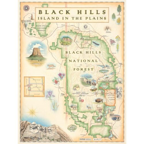

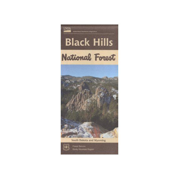
Black Hills National Forest Recreation Map (Updated 2017)
$14.00
In stock
Shipping calculated in cart/checkout
Explore the Black Hills area with the comprehensive Black Hills National Forest Recreation Map. This water-resistant and tear-resistant map, updated in 2017, covers South Dakota and Wyoming, including roads, trails, campgrounds, and boundaries.
In stock
Real-time rates straight from USPS. No mark-ups, ever. Every dollar we don’t spend on so-called ‘free shipping’ fuels research, internships, and trail work in your favorite parks / forests.
Become a BHPFA member for $30 a year and we’ll fire a digital membership code into your inbox in seconds. Paste that code at checkout and save 15%.
Flash your membership card at hundreds of nonprofit park stores nationwide for 10% off.
Park rangers and US Forest Service interpreters hand-pick every title, tee, and trinket, so you’re getting facts not fluff. And your purchase keeps them on the front lines.
Description
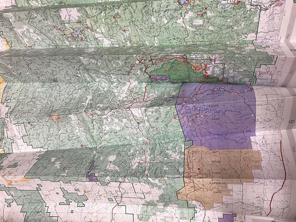
The Black Hills National Forest Recreation Map is your essential guide to exploring the scenic beauty of South Dakota and Wyoming. Updated in 2017, this durable map is printed on water-resistant and tear-resistant paper, making it perfect for outdoor adventures.
Inside, you’ll find:
- Detailed Roads and Trails: Navigate easily with clear markings of roads and trails.
- Campgrounds and Attractions: Discover campgrounds and key attractions throughout the Black Hills area.
- Boundaries and Political Borders: Includes boundaries with private lands and political borders as of 2017.
Please note, this map does not include topography or the recently implemented National Forest Motorized Vehicle Use (MVU) areas requiring permits. For detailed topography, hunters, hikers, and off-road users should refer to the Trails Illustrated/National Geographic maps.
Whether you’re planning a scenic drive, exploring towns, or finding major roadways, the Black Hills National Forest Recreation Map is a valuable tool for your journey. Our partners at the USDA Forest Service produced this map. It’s only available at BHPFA for online sales.
This is a very useful map if you are looking for major roadways, towns, and attractions. For hunters, hikers, and off road users, the Trails Illustrated maps offer topography. Please check out the Trails Illustrated/National Geographic maps.
Additional information
| Weight | 4.3 oz |
|---|---|
| Dimensions | 10 × 5 × 1 in |
| ISBN | 9781593511500 |