Description
What is this atlas?
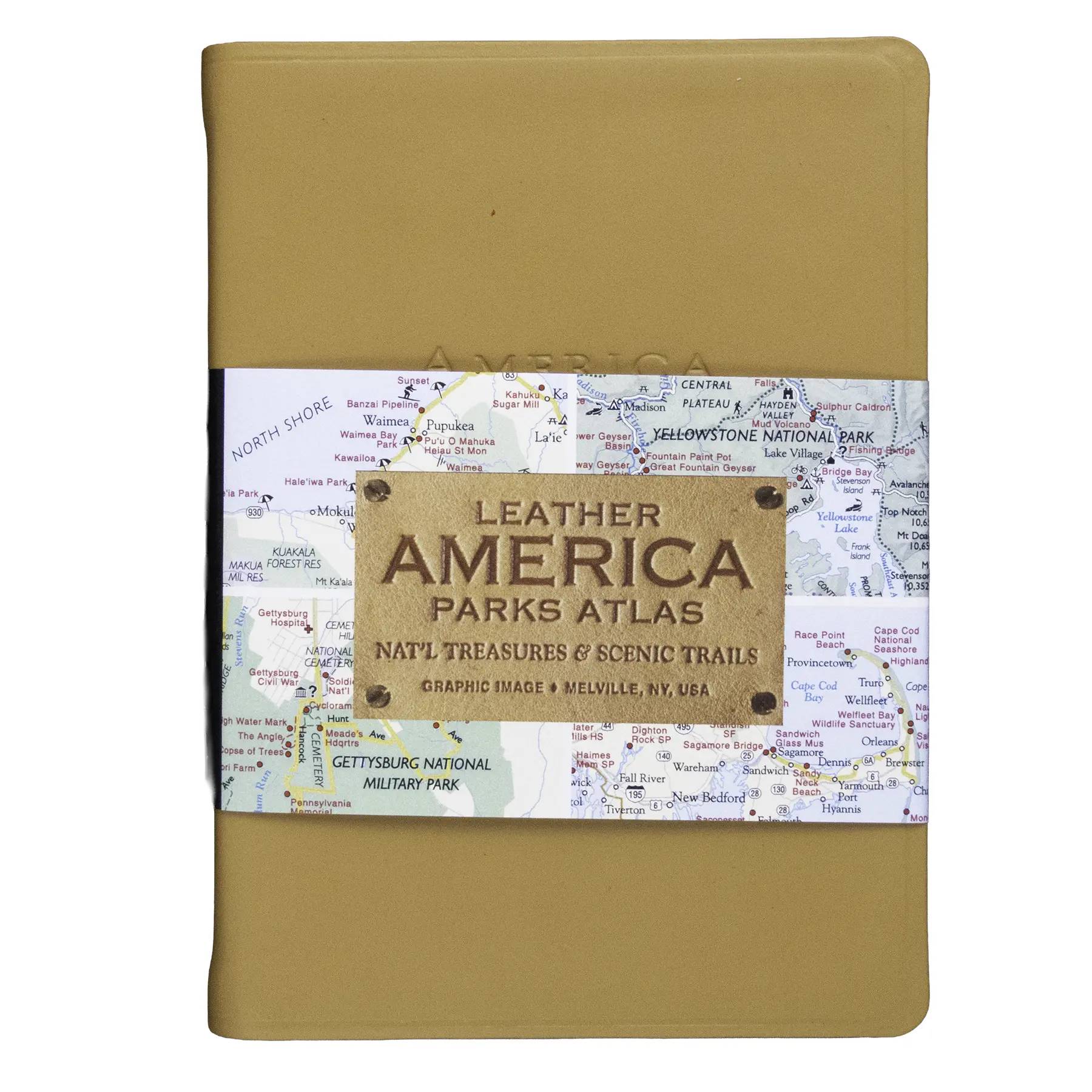
This is a pocket-sized leather-bound reference book covering the U.S. National Parks and the broader network of public lands around them. Published by Graphic Image (Stamford, CT), it fits in a jacket pocket or a car door pocket and is built to travel. The Smyth sewn binding means it lies flat when open and won’t fall apart after a season on the road.
It is not a coffee-table book. At 4.5″ x 6″, this is a working atlas, the kind you fold open at a gas station to find the next park entrance or double-check a scenic route you half-remembered from a trip three years ago.
What is inside
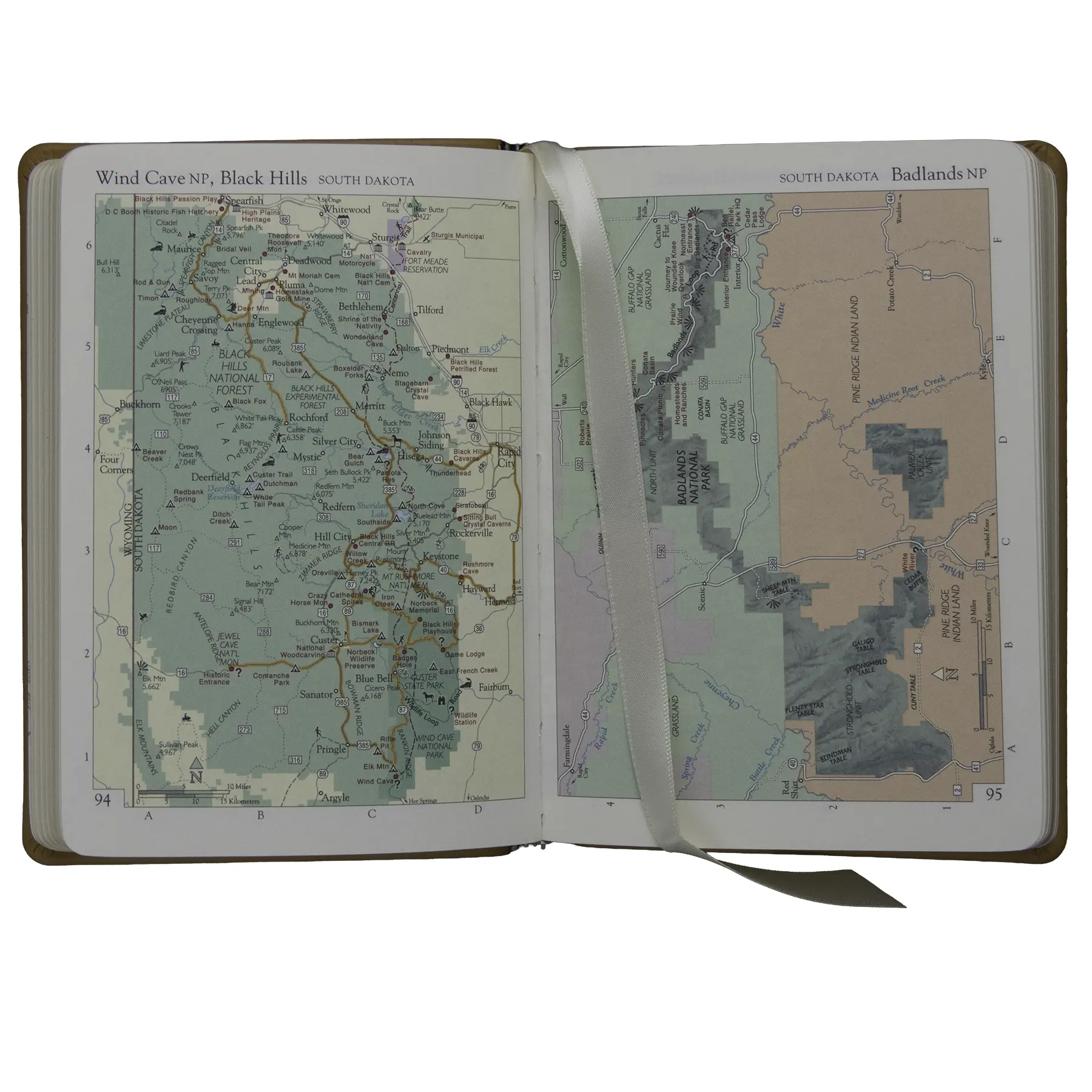
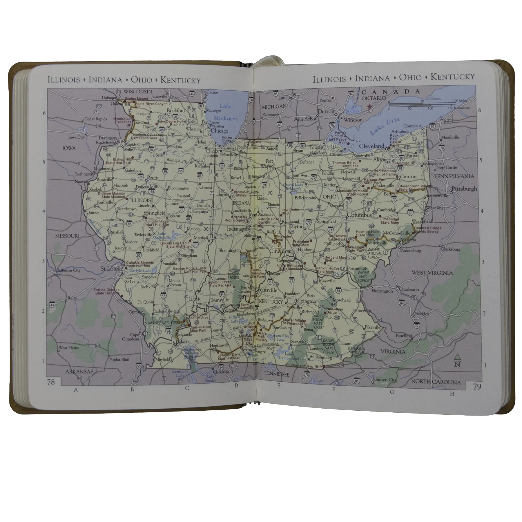
The 320 pages include 160 full-color map pages. Coverage starts with a continental overview, breaks into regional driving maps, and drills down to site-specific maps for individual parks and landmarks.
Beyond maps, the book covers:
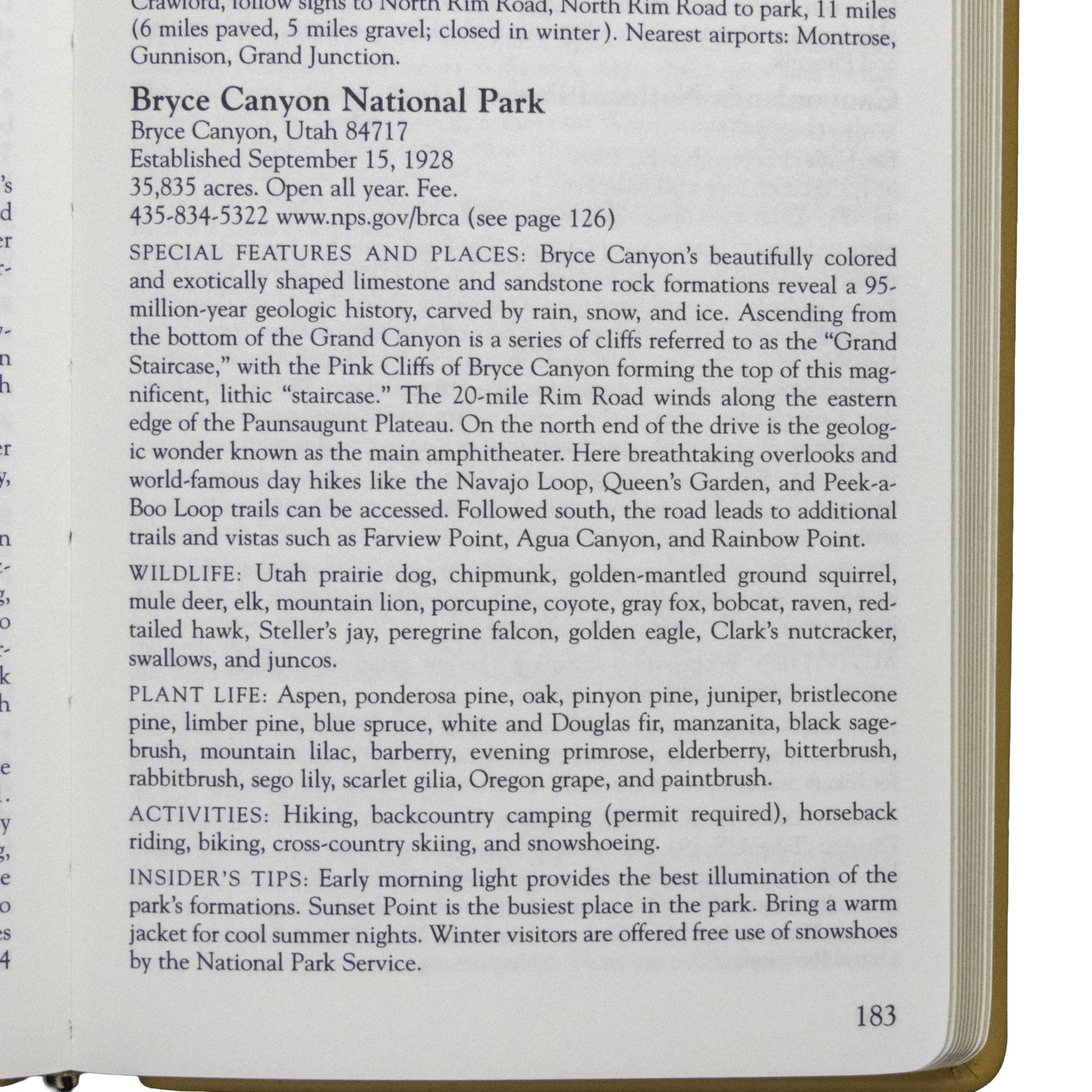
- All U.S. National Parks with descriptions and key facts
- State Parks, National Forests, and recreation areas
- Scenic highways (Route 66, Natchez Trace, Blue Ridge Parkway, and more)
- Historic sites (Civil War battlefields, Antebellum regions, Oregon Trail landmarks)
- Regional specialties: Colorado skiing, California wine country, Florida Keys
- U.S. travel distances and regional weather data by season
The book is organized by geographic region, moving from the East Coast westward. That structure makes it easy to plan a regional road trip without flipping through the whole volume.
Specifications
- Publisher: Graphic Image, Inc.
- Pages: 320 (160 full-color map pages)
- Dimensions: 4.5″ x 6″ x 1″
- Weight: 9.1 oz
- Cover: Full-grain leather
- Pages: Cream-white, acid-free paper with gilt edges
- Binding: Smyth sewn
- Ribbon marker: Double-faced cream ribbon
- UPC: 0019301892146
Who is this for?
Road-trippers and National Park pass holders who want a single physical reference they can keep in the car will find it genuinely useful. At this size it does not replace topographic trail maps for backcountry hiking, but for planning drives and identifying what is in a region, it covers the whole country in one small book.
It also works as a gift. The leather cover and gilt pages read as a quality gift item even though the price is well under $40. Park enthusiasts who are also book collectors tend to appreciate it.
If you are trying to work through all 63 National Parks, this atlas gives you the context around each one: what is nearby, how to get there, and what other public lands border it.
About the publisher
Graphic Image is a Stamford, Connecticut publisher known for leather-bound books, journals, and reference volumes. They produce several versions of this atlas in different leather colors and bindings.
Frequently asked questions
Does buying this support national parks?
Yes. BHPFA is the official nonprofit partner of Wind Cave National Park, Jewel Cave National Monument, Scotts Bluff National Monument, and Agate Fossil Beds National Monument, as well as the Black Hills National Forest and Nebraska National Forests & Grasslands. Proceeds from every purchase support education programs, conservation projects, and visitor services at these sites.
Is this the same atlas sold at other park stores?
Yes. Graphic Image distributes this atlas through multiple channels including their own website and specialty retailers. BHPFA carries it as a practical travel reference for visitors to our partner parks.
Does it cover all 63 National Parks?
Yes, it includes all U.S. National Parks as well as a wide range of State Parks, National Forests, and recreation areas beyond the NPS system.
Will it fit in a car glove box?
Yes. At 4.5″ x 6″ x 1″ it fits easily in a standard glove box, a jacket chest pocket, or a small daypack side pocket.
Is the leather cover durable for regular travel use?
Full-grain leather with Smyth sewn binding is a durable combination for a book that gets regular use. The pages are acid-free, which means they resist yellowing over time. A few reviewers at other retailers note the compact size makes the maps harder to read without good light.
Can I get this stamped at the BHPFA partner parks?
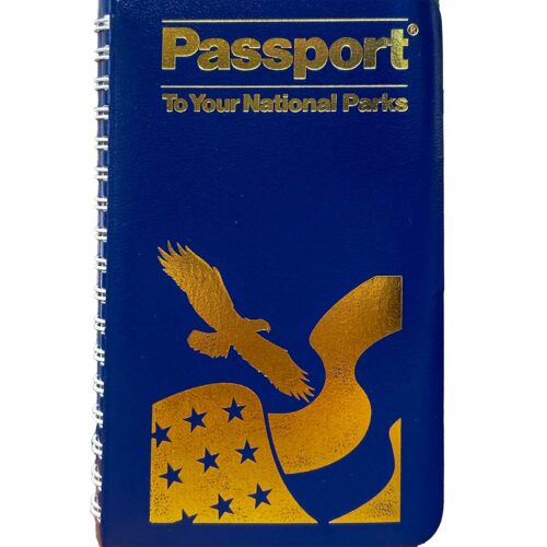
This is not a Passport book and does not have Passport cancellation pages. For Passport stamps at Wind Cave National Park, Jewel Cave National Monument, Scotts Bluff National Monument, and Agate Fossil Beds National Monument, see our Passport to Your National Parks books.
What is the difference between this and a trail map?
Trail maps (like National Geographic Trails Illustrated maps) show topography, trail routes, and backcountry details for a single park. This atlas gives a broad geographic overview of the whole country and is better for road-trip planning than backcountry navigation.
What edition is this?
This is the edition published by Graphic Image circa 2022. If you need to confirm the edition against a specific copy, check the copyright page.