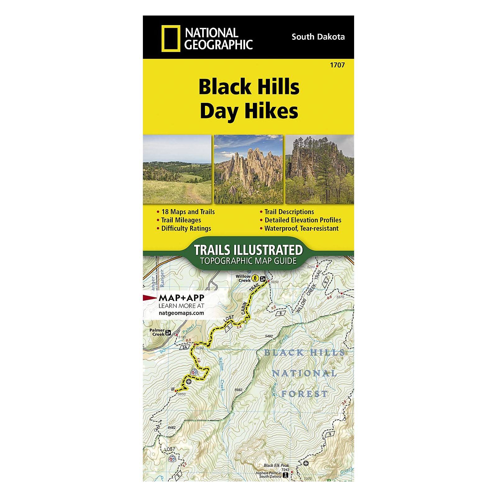
Black Hills Day Hikes Map (National Geographic)
$14.95
|
|
|
|

Everything in the online park store is ranger-reviewed for accuracy, cultural inclusivity, and to enhance your connection to the park or forest’s educational message. Net proceeds of all BHPFA sales go to “Wonder & Exploration” at our NPS and USFS partners!
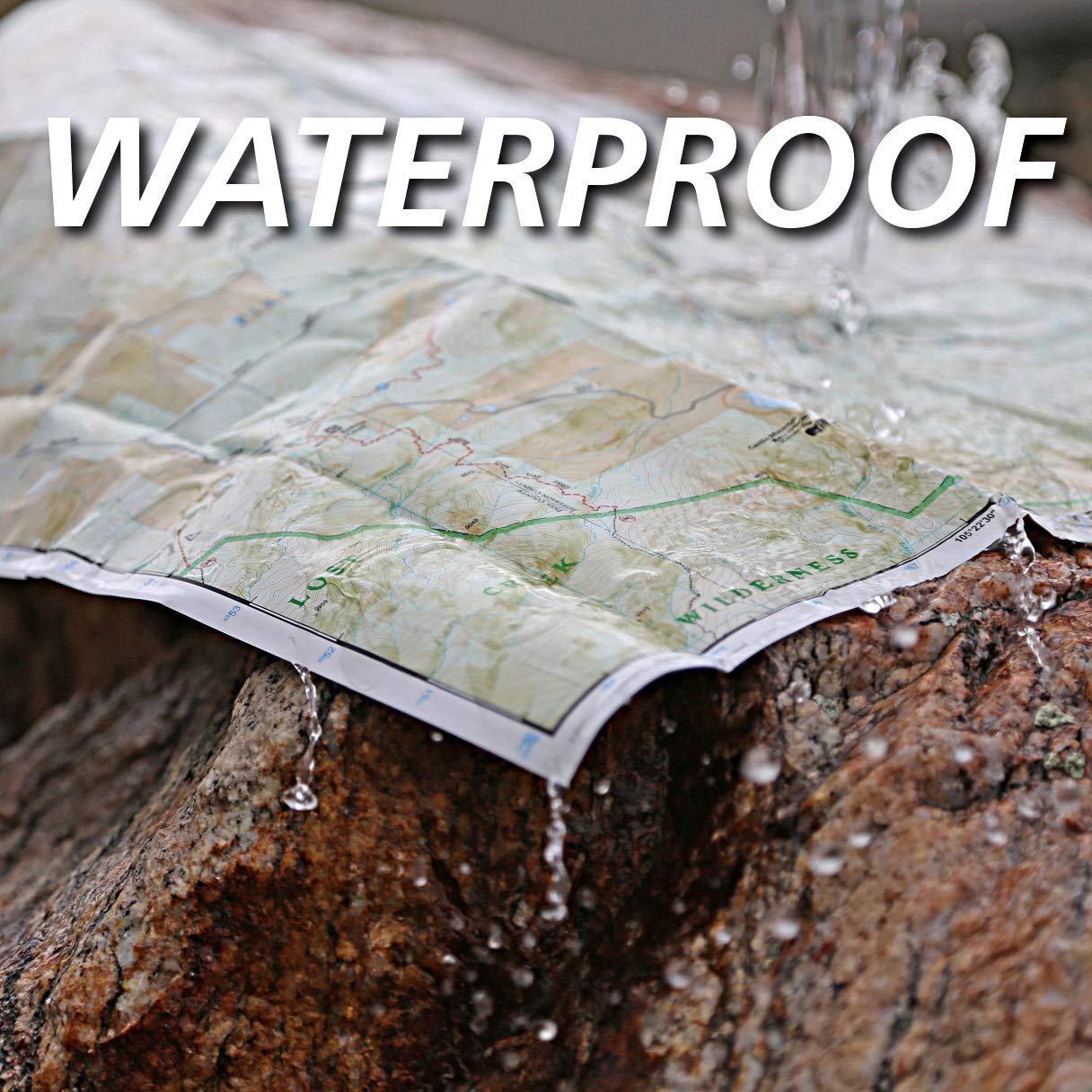
• Waterproof • Tear-Resistant • Topographic Map
From the lower elevations surrounding the Black Hills, to the highest point in South Dakota, the Black Hills Day Hike Map is the perfect hiking companion.
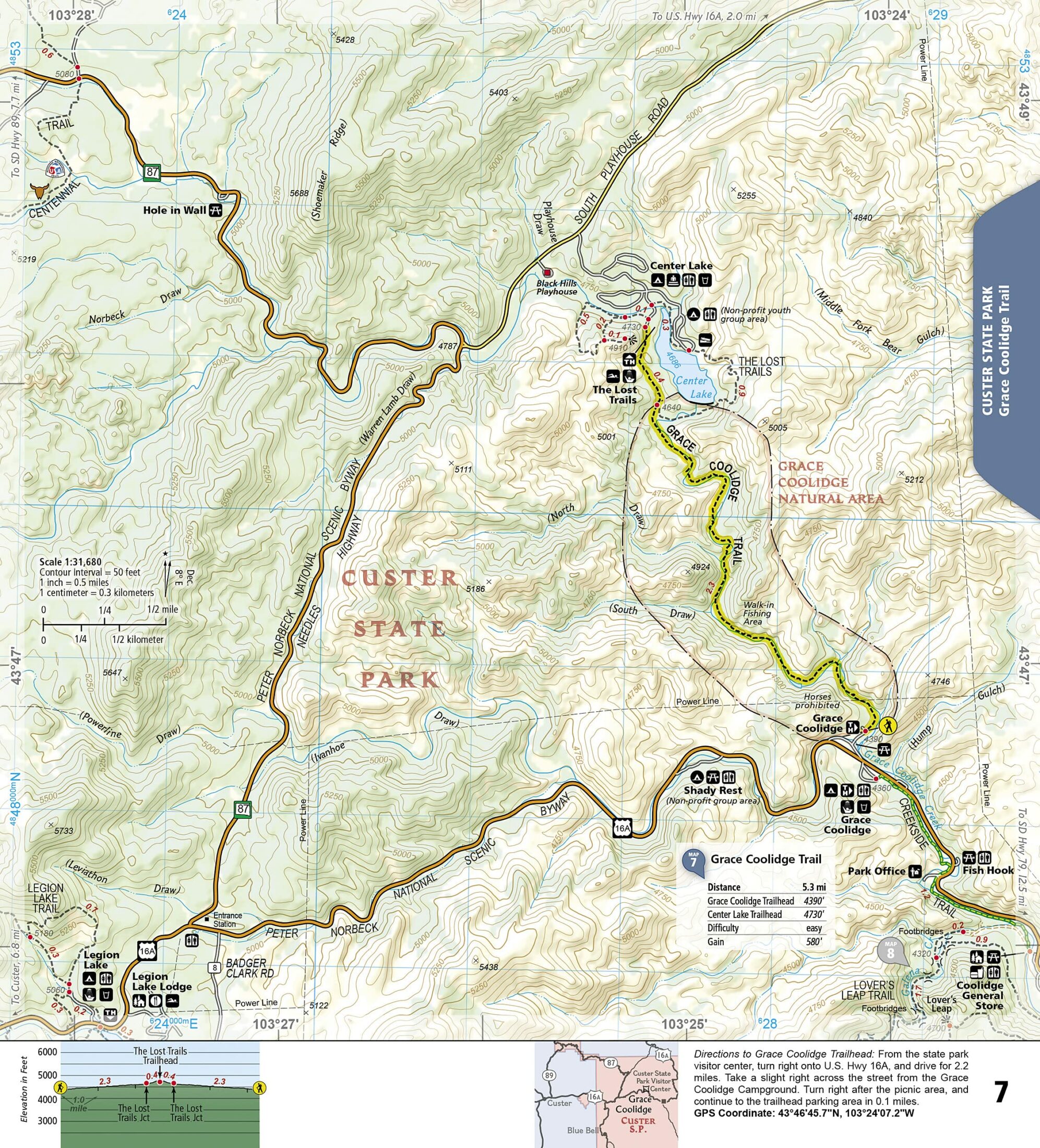
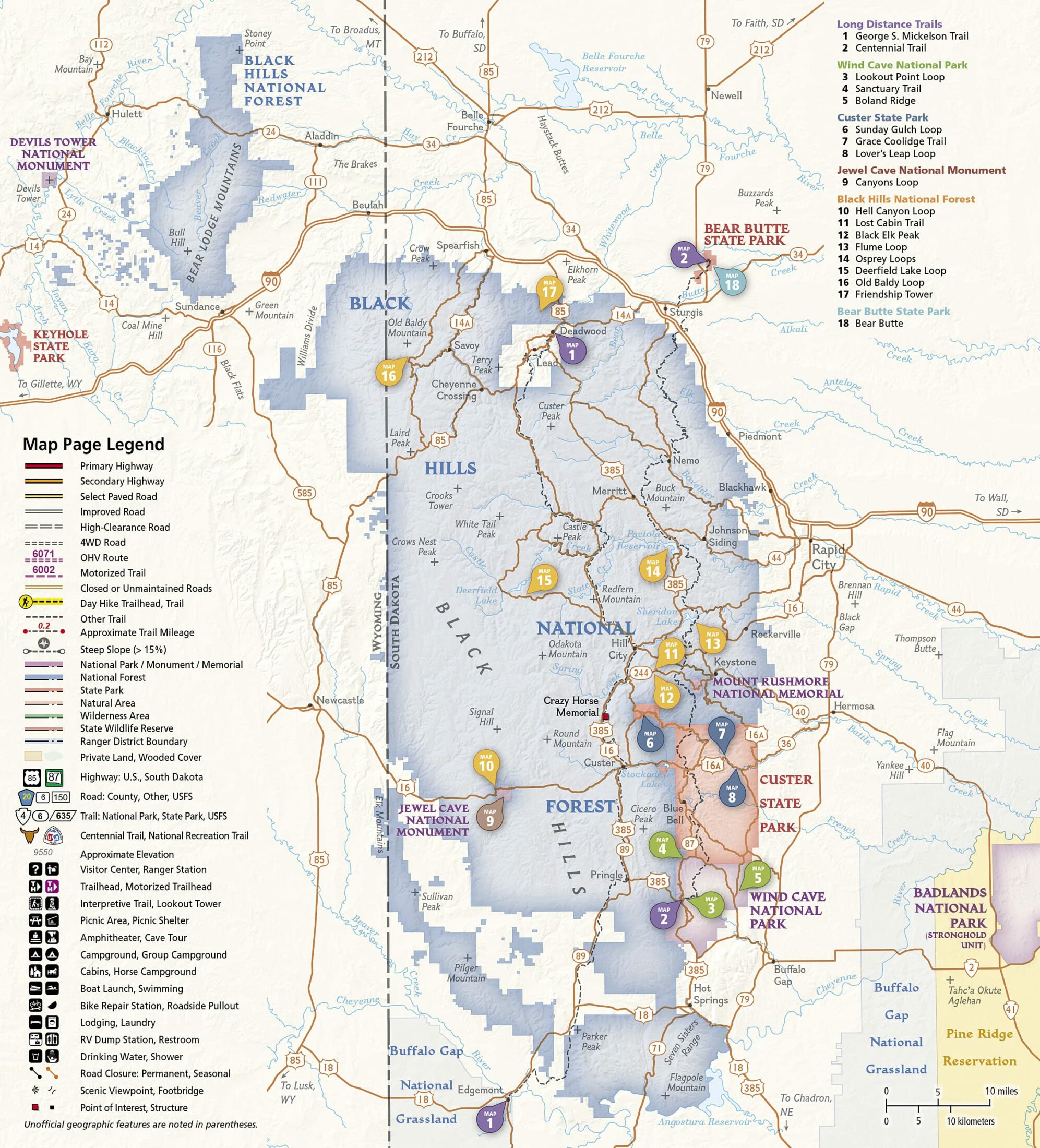
From the lower elevations surrounding the Black Hills, to the highest point in South Dakota, the Black Hills National Park Day Hikes Topographic Map Guide includes a hike for everyone to explore, from the easy Canyons Loop to the strenuous Black Elk Peak trail. The 16 featured hikes are spread across a variety of state and federal public lands including Wind Cave National Park, Custer State Park, Jewel Cave National Monument, Black Hills National Forest, and Bear Butte State Park–and range in difficulty and distance to help hikers select the best trail for their timing, abilities, and location within the Black Hills. Also included with each featured hike are trail descriptions, directions to trailheads, an elevation profile, total elevation gain, and trail mileages. Two long distance trails–the George S. Mickelson Trail and the Centennial Trail–are also featured, which can be divided numerous ways into perfect, self-designed day hikes.
More convenient and easier to use than folded maps, but just as compact and lightweight, National Geographic’s Topographic Map Guide booklets are printed on “Backcountry Tough” waterproof, tear-resistant paper with stainless steel staples. A full UTM grid is printed on the map to aid with GPS navigation.
- Map Scale = 1:50,000
- Folded Size = 4.25″ x 9.38″
Additional information
| Weight | 3 oz |
|---|
Reviews
Why do we charge shipping?
By paying the calculated USPS rate based on the total weight of your order, more of your purchase goes to supporting programs and conservation at your National Parks and National Forests.


There are no reviews yet.